![Tropical Cyclone Dylan named as a category 1 tropical cyclone](http://www.extremestorms.com.au/wp-content/uploads/2014/01/Tropical_Cyclone_Dylan_30th_January_2014_2pm-580x435.png)
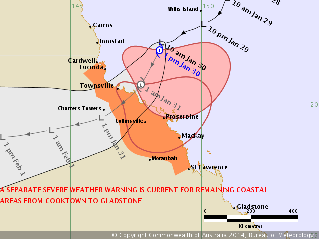
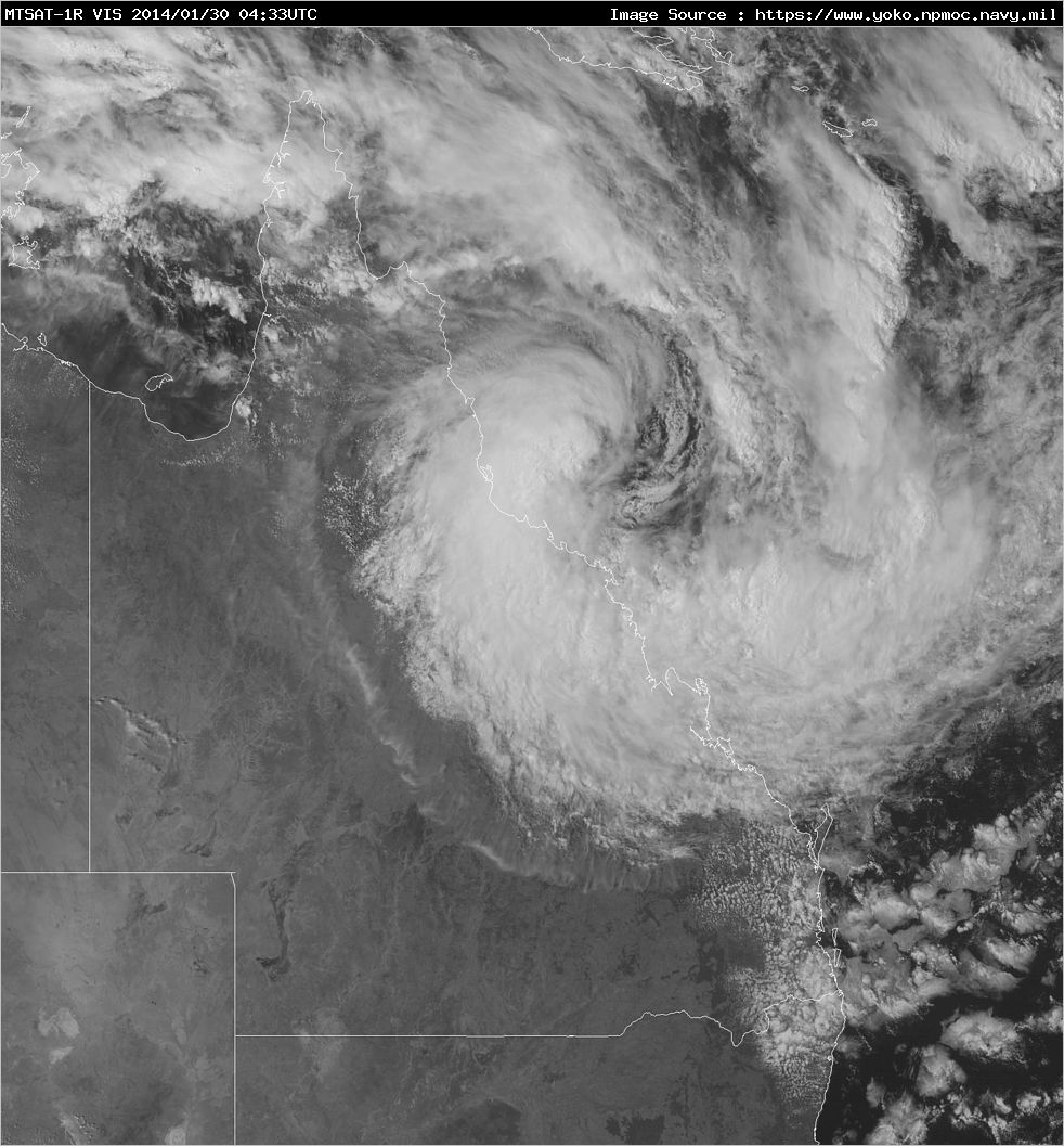
The Bureau of Meteorology map has been rather accurate in depicting both the timing and path of this now official Tropical Cyclone Dylan expected to make landfall on the central Queensland coast 1am - overnight.
With it rainfall totals of 500mm or so are not out of the question.
![Tropical Cyclone Dylan 30th january 2014](http://www.extremestorms.com.au/wp-content/uploads/2014/01/tropical_cyclone_dylan_30th_january_2014-580x435.png)
![Satellite imagery of Tropical Cyclone Dylan](http://www.extremestorms.com.au/wp-content/uploads/2014/01/tropical_cyclone_dylan_2014_satellite_image-580x624.jpg)
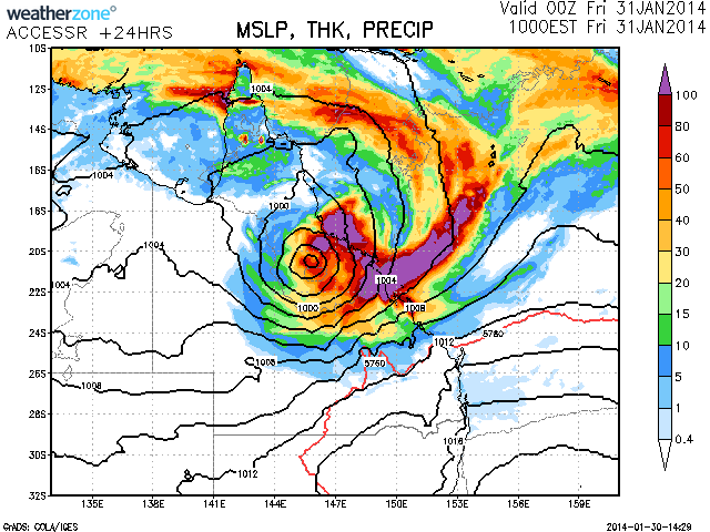
500mm of rain not a bad drop of rainfall from this system and it is not moving too slowly from the forecast path.