
 Severe storms hit regions from the Illawarra to Western Sydney and north west of Sydney throughout the aftrnoon. However, it was the storm complex that moved through the south western and western suburbs that packed a punch during the evening period producing high winds and very heavy rainfall in some suburbs. Lightning at times was very active and some suburbs experienced blackouts!
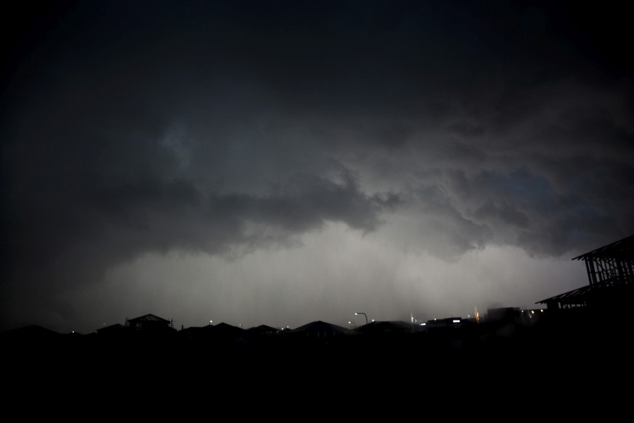
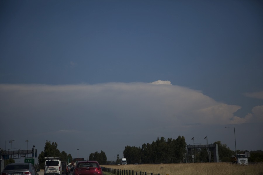
At one stage an interesting radar structure developed near Campbelltown but the storms then gave way to outflow dominant activity fast advancing the activity to the east and eventually to Hornsby and north.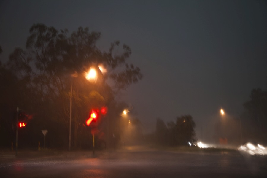
I do have photos of this event but I do need to process them.
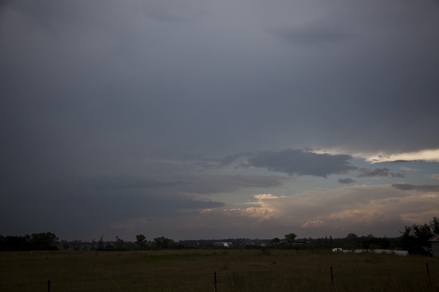
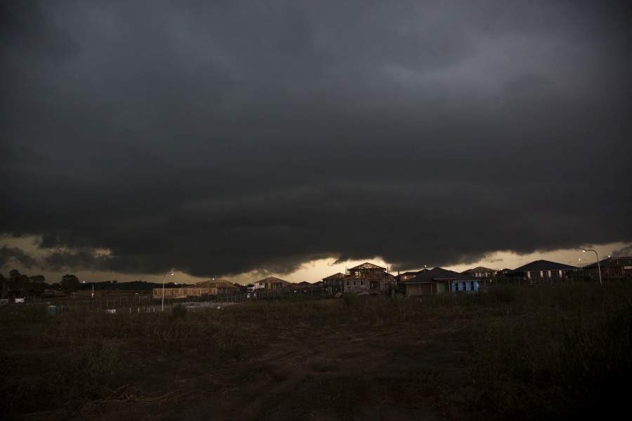
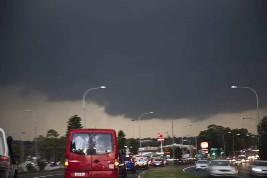
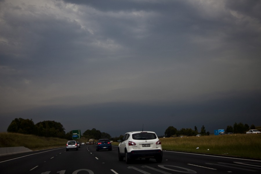
Notwithstanding this, a major feature of this storm that I observed was a substantial shelf cloud that passed overhead. I observed this event from a lookout at Bella Vista where I took video film. The shelf cloud looked ominous and interesting colours observed.
Upon arriving at Bella Vista, strong to gale force wind was occurring with leaves and small tree branches peeling from trees but the wind was not too strong to do significant damage.
There was much lightning, a period of heavy rain but no hail where I was located.
This storm did produce some strong rainfall totals especially across outer South West Sydney. The heaviest totals are:-
34 mm at Camden.
28 to 31 mm around and south of Luddenham.
There was a more isolated fall of 17 mm at Box Hill.
This storm completely missed the eastern half of Sydney.
This storm passed over the Badgereys Creek Weather Station where peak wind gusts from the south west of 82 km/h occurred at 6.26 pm, 6.30 pm, 6.34 pm, 6.40 pm and 6.42 pm. Winds prior to the storm at this weather station were from the north east and they returned to the north west by 8 pm.
Rainfall at this weather station was 3.8 mm at 6.30 pm and 27.8 mm by 7 pm. This shows 24 mm in a space of 30 mm.
The Horsley Park Weather Station recorded peak wind gusts of 67 km/h at 7 pm from the south west.
The Camden Weather Station recorded a peak wind gust of 74 km/h at 6.30 pm and again at 6.33 pm from the west.
Rainfall at this weather station was 1.6 mm at 6.19 pm and 33.6 mm by 7 pm indicating a fall of 32 mm in 41 minutes.
I attach the rainfall plot and it is clear where the storm occurred.
I will post photos once I have processed them.
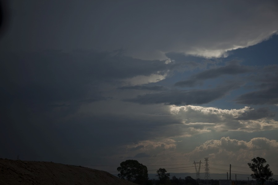
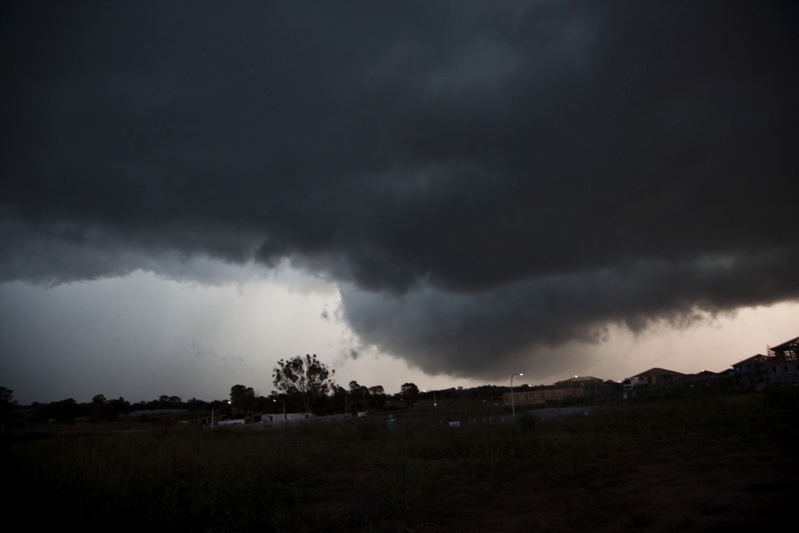
I attach two images of the storm as it approached Bella Vista. I still need to work on my video film to see what I captured.
This was close to sunset. There was a sunset beyond the rain curtains because the rain curtains had an orange tinge. It was difficult to take photos due to the lighting effects.
I have been working on my video film. Please find attached a beautiful cloud to ground lightning strike. This was a powerful strike that pulsed. I attach two photos of this strike.
Same strike but slightly different intensity.
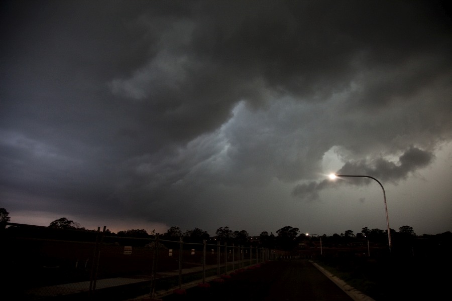
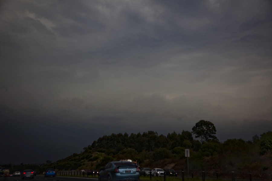
I am at Bella Vista looking north. The core of the storm has passed over and winds eased allowing me to view the spectacle.
As mentioned by Harley the rain curtain from the storm was nicely backlit by the setting sun. From Parramatta the edge of the storm had some raggedy base features and a rain foot. Lightning was of a high frequency but difficult to photograph being rain embedded. Shots were taken as the storm headed off to the NE.
Another cg as the storm moved east of Parramatta.
Some impressive bolts from this event!
Some impressive bolts from this event!