Storms 11th February 2020
After observing a boundary aligned north south near Blacktown, I headed in Blacktown only to see the boundary migrating further west. After a set of promising towering cumulus seemed to not really take off, I headed for existing storms near Richmond.
After a stop before Richmond for storm structure and a lowering, I proceeded on to the outloook of floodwaters near Richmond with stormy background.
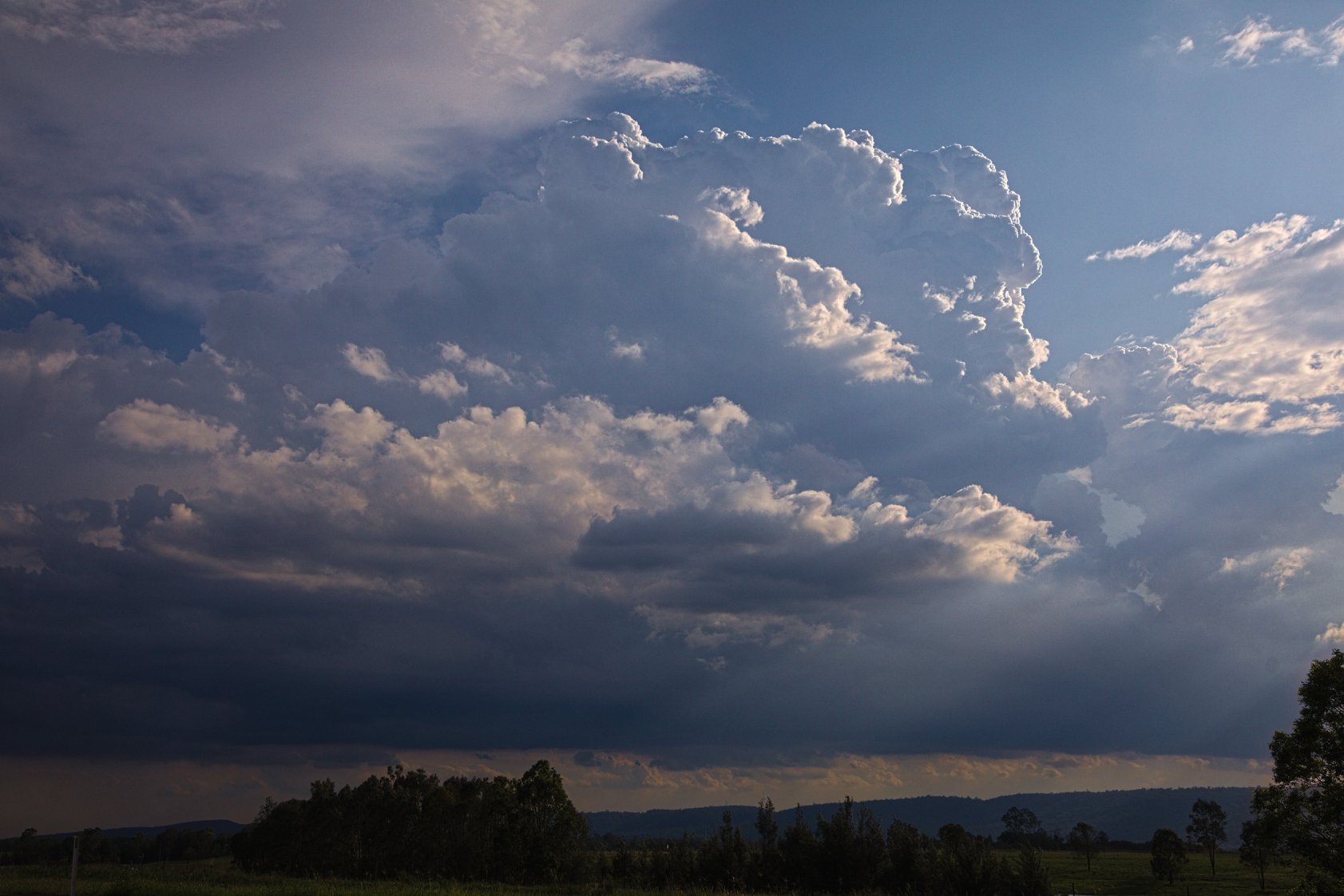
The original boundary to the south though seemed to be taking off once more so I made my way to Penrith Lakes. The towers rose higher with each successive updraft and soon glaciated with decent anvil.
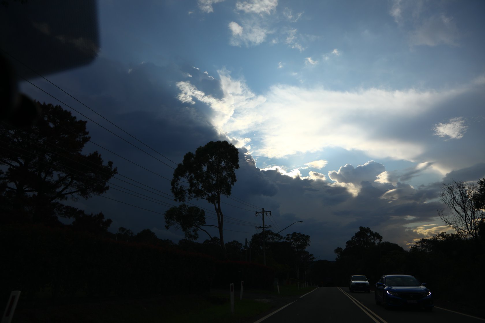
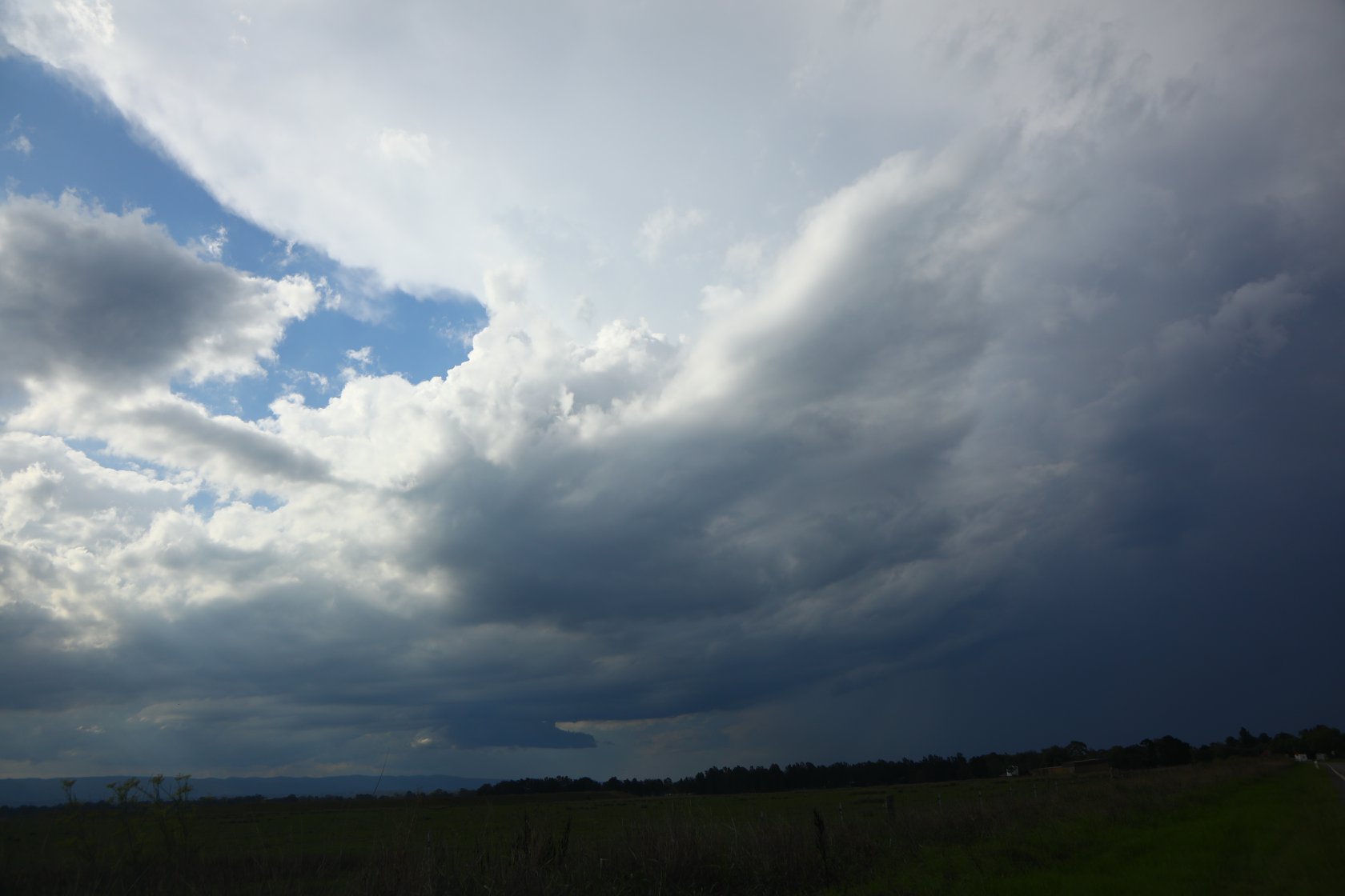
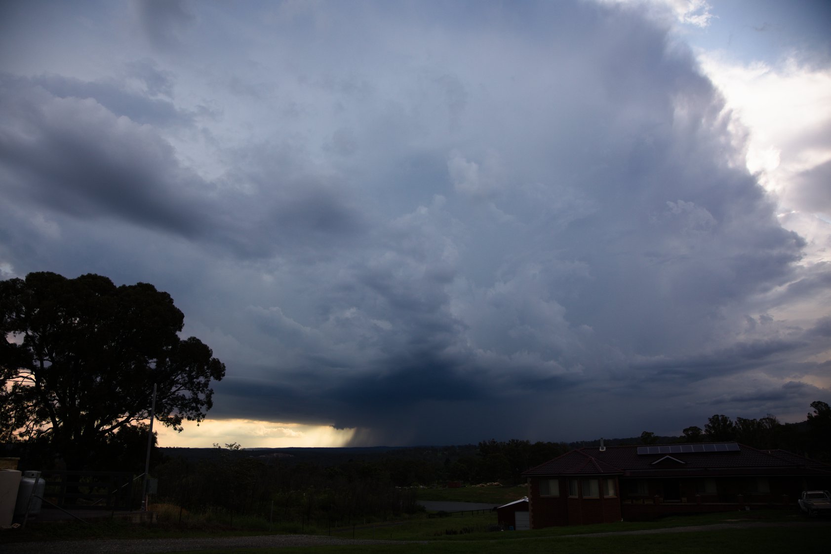
After several pictures I headed southwest towards Mulgoa - the storm drifting further southwest. A nice base on the southern edge and its precipitation cascades made for nice scenery with the green fields from all the recent rain! I headed further southwest which was a frustrating drive as some stunning bolts some multiple could be seen through gaps in those tree lined roads.
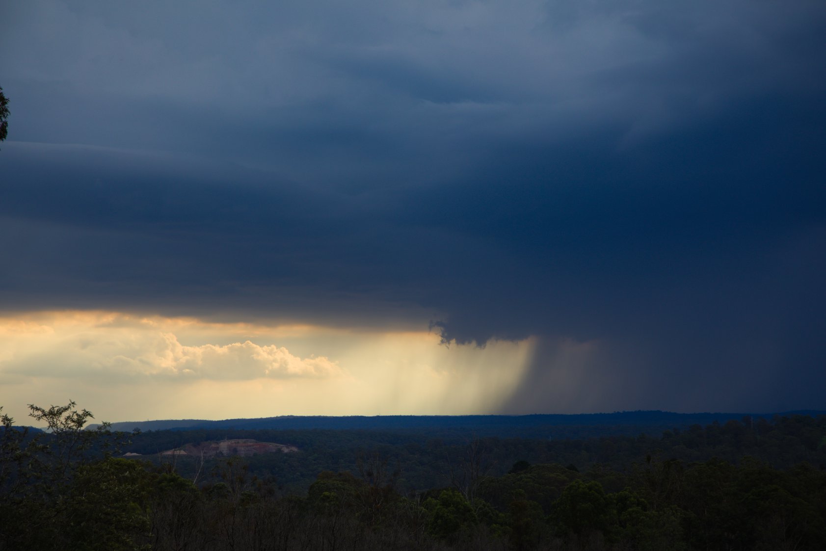
Finally a break and video, lightning activity eased off and was mostly embedded! The storm produced a brief microburst which was very dynamic about the base. Further south and the next updraft rose to reasonably impressive heights. The drifted further southwest so I chatted to the farmer who was curious as to why I was near his property. We talked about the drought the fires, the rains and the idiotic catchment of water tax (they pay for the use of water per litre that falls on their farm - part of the catch - across the toad doesn’t pay)! He said they had 400mm of rain!
This storm seemed to be at the least marginally severe and traversed the boundary for some time.