 Without a vehicle for the day and no chasers out there on relatively short notice, I was stuck with the first part of the day. So a storm develops to the south and comes to my region! I would say it was the quickest exit of the children and groceries on the front lawn and I was off! And then "Oh and by the way the fuel light is showing". Damn!!! So I had to balance between the last 100 kilometre fuel and the storm nearby. $20 would do for now! The storm kept developing along the boundary and produced rain from Castle Hill to near Hornsby! Traffic was congested coming into the downpour at the end of the M1 but I had a clear run. Eventually I played some new areas near Kulnura but the storms did not persist and there were ample trees to contend with at this point.
Some of the pictures and report of a brief chase. Had no car initially!
Jimmy, I could not chase either as my computer was getting repaired and rebooted at the time. The images I have to reinforce your post were taken at a park near my friends place in Blacktown.
Today, I spent a little time looking at what this storm did and I had to ask a few from work what occurred. The people I asked (One lives in Sydney’s South and one lives at Granville) did not see any hail. Both reported to me a short but very heavy burst of rain accompanied with strong winds.
The storm passed over Holsworthy Weather Station and it provides some idea what occurred early in its life:-
2.30 pm Temperature was 26.9C.
2.39 pm Temperature was 21.7C and wind gusts to 54 km/h from the SSW.
2.43 pm Temperature was 19.5C with peak wind gusts to 54 km/h from the SSW.
3 pm – The temperature was rising again with winds easing to 20 km/h from the SSE.
Winds were NE ahead of that storm but returned to NE well after the storm had passed.
Rainfall here was 11 mm with a majority of that occurring from 2.43 pm to 3 pm.
The temperature rose back to 26.1C by 5 pm.
This is the only station on the network recording this level of detail.
The storm was relatively short lived as it passed over an area and the width was very narrow as shown by the rainfall plot which is attached below (9 am to 16/2/2015).
Without chasing it, the storm width was very narrow roughly between 5 to 10 km wide. It produced rainfall of:-
19 mm at Liverpool.
18 mm at Kentlyn.
16 mm at Merrylands West (Scrivener Street).
11 mm at Holsworthy and Hornsby.
9.5 mm at Toongabbie Creek.
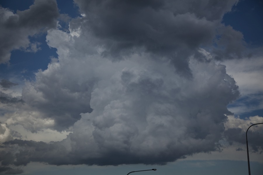
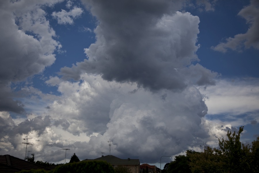
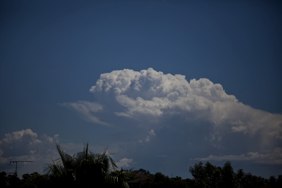
Interestingly, when I was photographing it at Blacktown, I noticed a rain free base with the precipitation shaft clear of the base. It seemed to show some organisation for some time.
I attach some photos that I have now processed.
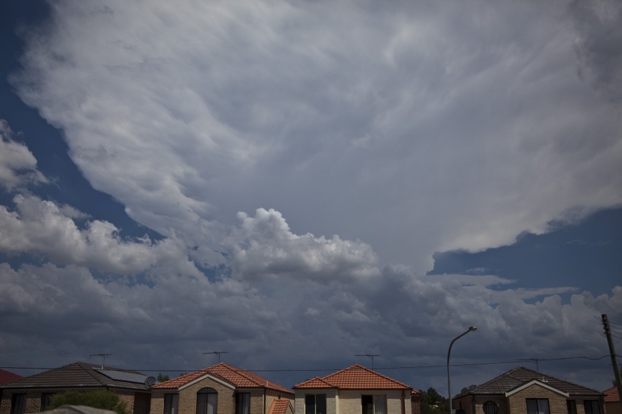
I took this image from Glenwood on my way to my friends place.
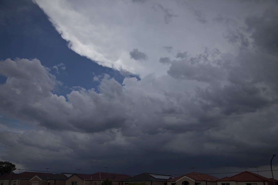
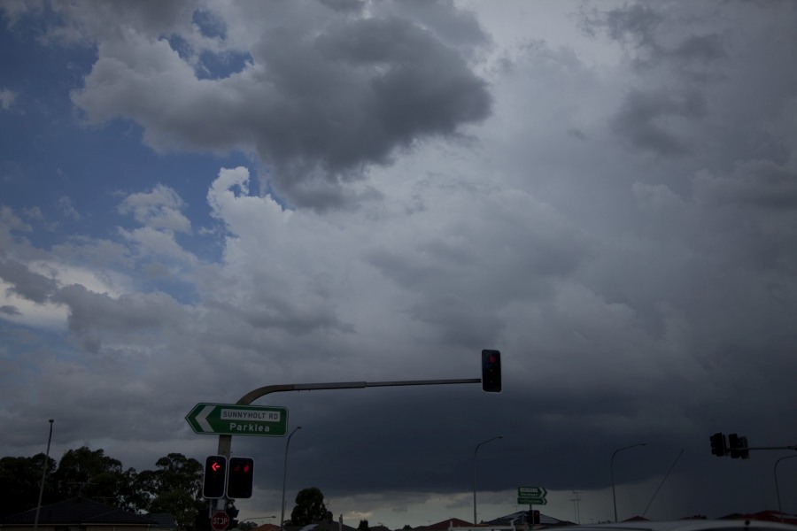
Some images of the storm from Blacktown.
I went outdoors taking these while my computer was getting rebooted.
The photos show the rain free base on the northern side of the cell. I found this interesting as it moved from SSW to NNE.
I took a close up image of the base.
I had to go back indoors to check my computer again after this. After I saw this, I had the impression that the storm started to decay.
A different perspective of the storm that came across from Blacktown on Sunday between 3 and 4pm. The RFB was very impressive with a separation to the rain curtain evident.
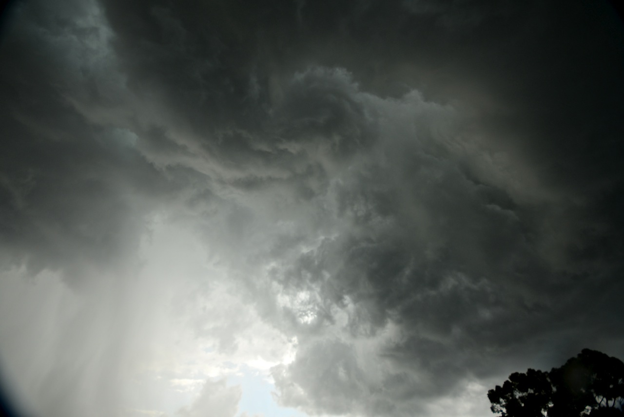
Some nice features were observed before the storm gusted out including a good downburst and associated rain foot as well as overhead rotational vortices just prior to the precipitation shaft hit.
Glad the children woke me to witness this marvellous event. Atmosphere was dynamic on that day.