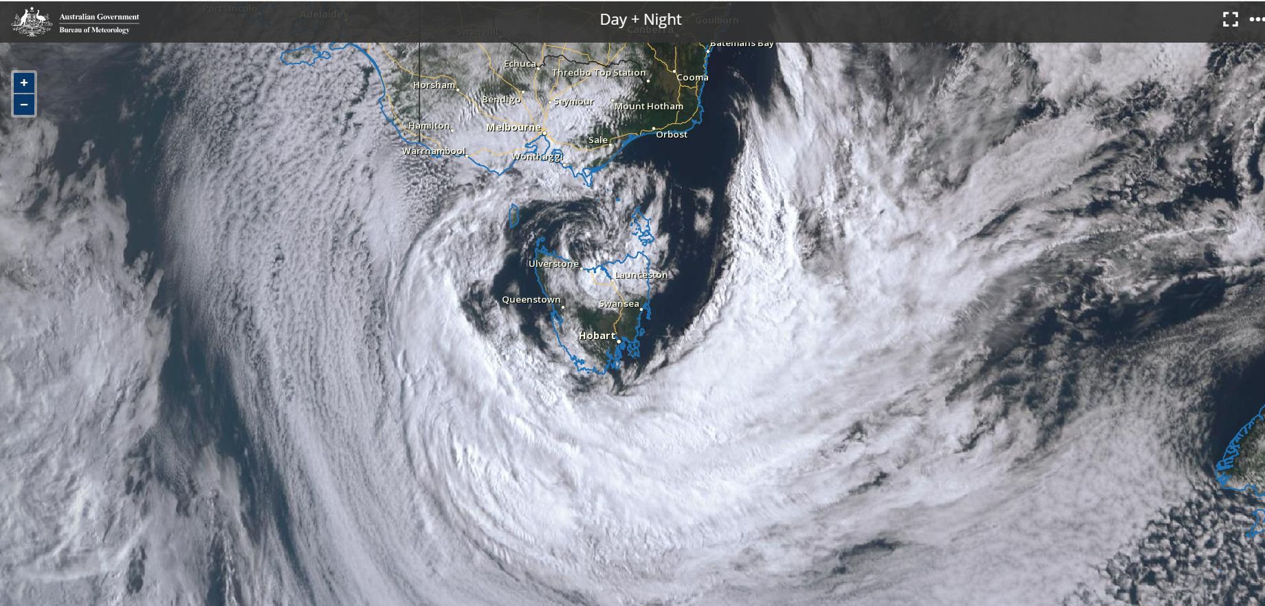
While much of Australia is experiencing dry conditions, there are two separate and distinct storm systems within or close to Australian waters Sunday morning.
One such storm is moving south away from Tasmania with the island state within its centre. As such, the heaviest rain from this has now crossed the coast.
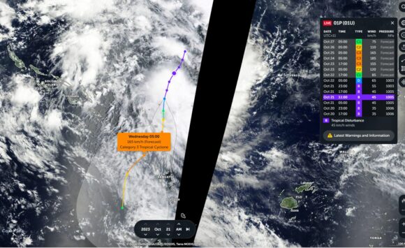
The second system is a developing tropical cyclone located north east of New Caledonia and Vanuatu. The storm is expected to move south west towards and even into the eastern part of the Australian waters over coming days.
1 - Storm system Tasmania Sunday 22 October
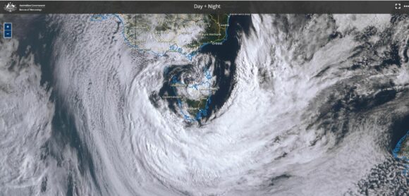
This system has reached peak intensity off the coast of Tasmania. It has crossed over Tasmania and brought moderate rainfalls of between 25 and 55 mm across south east Tasmania including Hobart. This is not significant but some remarkable satellite photos are showing clearing skies over the island state Sunday morning with thick cloud swirling to the south, east and west of the island state.
The core of the storm is passing over Tasmania providing rare but dramatic images not often seen on satellite photos.
2 - Storm system (Developing tropical cyclone) Sunday 22 October
The second storm system (Not officially named at the time of writing) is even more remarkable given that forecast models are showing a developing tropical cyclone close to Australian waters so early in the season. It is rare but not unheard of to see early tropical cyclones so close to Australian waters during October.
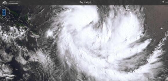
This system has developed within oceanic waters north west of Fiji. There is some uncertainty on what is going to occur but it is clear that a tropical cyclone is going to develop within coming hours.
The first forecast model issued suggests that it will move south west edging closer toward the Queensland coast passing barely to the north of Vanuatu as a Category 3 system on the Saffir Simpson Scale with potential winds reaching 185 km/h at the core.
It is even possible that this system will enter into Australian waters. What is clear is that it will have no impact upon the Queensland Coast. Oceanic waters south of Vanuatu are too cold to support these storms at this time of year and as such, this will decay out over the open ocean as it tracks further south.
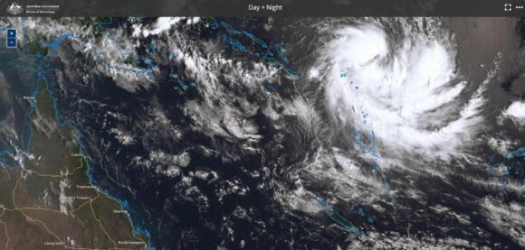
This does show that the tropical cyclone season for 2023/24 has commenced within waters close to the Australian jurisdiction.
The images from Zoom Earth (NASA) and Himawari of Sunday morning clearly shows what is occurring north east of Vanuatu.
