
Over the past 24 hours, a Tropical Depression tracking north towards the southern USA coastline has intensified into a significant storm event. The National Weather Service has now called the storm "Tropical Storm Bill".
As the storm makes its final approach towards the Texas coastline, a number of storm alerts have been issued for the coastline between Galveston and Corpus Christi. It is identified that the storm is producing winds to 45 knots with peak gusts to 55 knots. It is not expected to develop into a hurricane but with significant convection occurring, this event is expected to unleash heavy rain and significant thunderstorm activity across Texas. Weather warnings are being issued or expected to be issued for cities such as Houston, Dallas and Oklahoma City. The main threat is flooding across saturated areas.
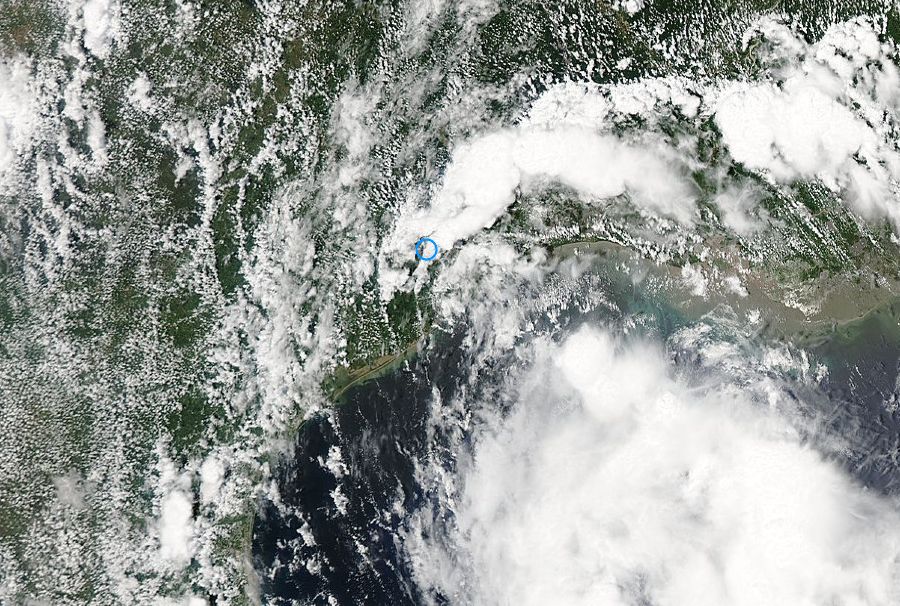
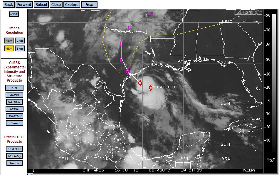
In addition to the storm track now produced by CIMSS (June 15 2015), a satellite image of the storm taken from MODIS (NASA - 15 June 2015) clearly shows the storm approaching Texas. The photo also shows convective storm activity developing ahead of the main storm across southern Texas.
This is expected to be a major weather event given the alerts that are now issued across swathes of southern Texas.
What's the latest in Texas?
What's the latest in Texas?