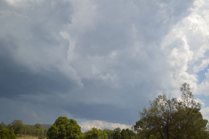
After reviewing weather models in relation to thunderstorm potential for Saturday, Jimmy and myself decided to chase thunderstorms that would develop north west of Sydney and along Putty Road.
The key issues for the day would be:
- Limited road network resulting in limited opportunities to drive close to or underneath thunderstorm cells.
- Thunderstorms that would develop would be travelling north eastwards and driving in front of these would be a challenge.
- High temperatures of up to 35C would make any chase a challenge.
- Lack of cleared areas to view thunderstorms that would develop.
We decided to chase to see the opportunities that would occur. Surprisingly, this chase finished up being reasonable despite the issues faced.
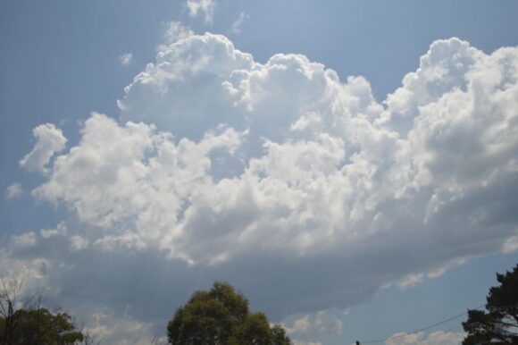
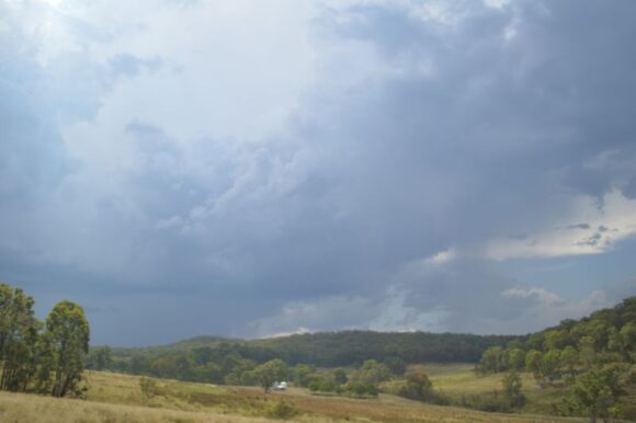
After leaving Penrith, we travelled north bypassing Windsor then went north along Putty Road to observe cloud towers to the west around Colo Heights. The southern cloud towers were unable to hold so we went further north and found enough open areas to view a strong cumulo congestus cloud tower and even an isolated cumulonimbus cloud tower to the north and north west that was of interest.
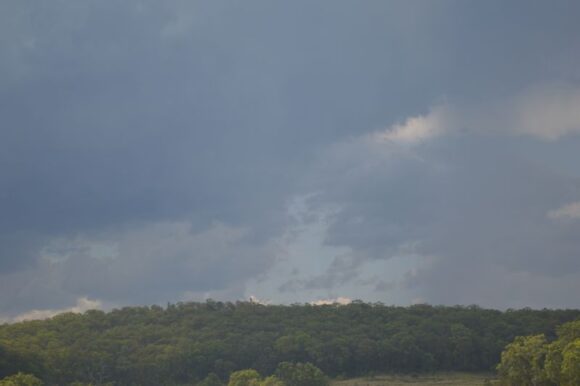
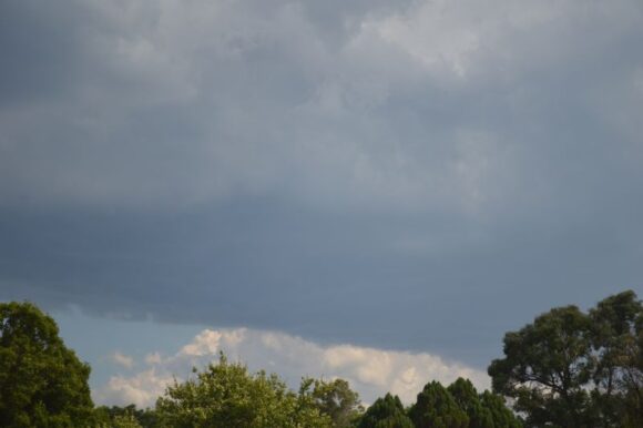
At one particular stop south of the Grey Gum Café, an isolated thunderstorm cell developed close enough that allowed photos to be taken. This cell was short lived and decayed but we did manage to drive through some precipitation as it passed over the road area.
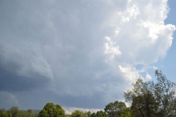
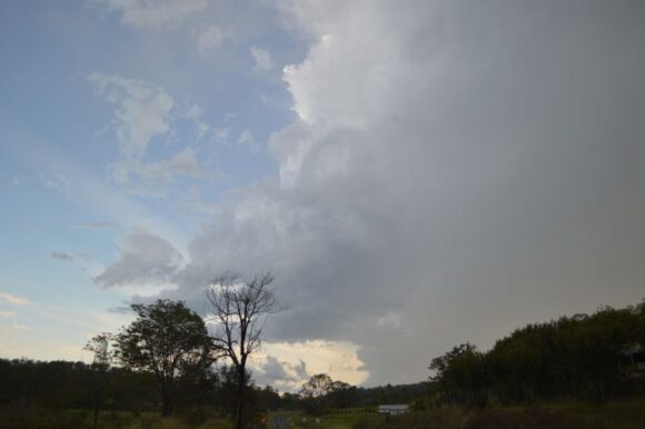
We travelled north towards stronger cells and found enough open areas to observe and photograph thunderstorm cells.
At Howes Valley, we stopped for a long period photographing a thunderstorm just to the west of the road. The storm was at its peak intensity and a few strong cloud to ground lightning strikes were observed. The storm continued its path northwards but eventually weakened.
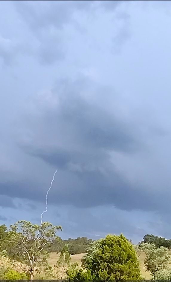
Of interest, the outflow of that storm was enough to provide inflow to a new thunderstorm cell to our south and at one point, it appeared that the new storm would pass over us. Instead, the storm moved north east and away from us. Numerous photos were taken and cloud to ground lightning was observed.
We initiated a chase on this storm by driving north to Millbrodale, then turning south east towards Broke then south towards Wollombi. Interesting cloud structure was observed. This storm remained over an area with no roads. While we did experience some rain, the storm eventually went into decay. It is possible this storm did have hail at its peak intensity but the lack of roads made it impossible to find out what occurred.
Some good photos of cloud structure and cloud bases were taken.
This was a chase that was better than expected because there were enough clearings within the bushland to allow good visual observations when we needed it the most.
All photos of cloud structure were taken using my DSLR camera while the lightning shot is taken from video from my mobile phone.
