During the period 27 to the 30 September 2022, another rain and storm event passed across New South Wales reaching the coast and Sydney late Tuesday and into Wednesday morning.
Early Wednesday morning between 1 am and 4 am, two thunderstorm events passed over much of Sydney producing moderate and heavy rainfall depending on location.
The system that produced the storm events had passed out to sea by sunrise Wednesday morning.
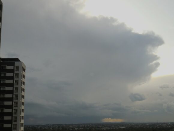
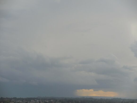
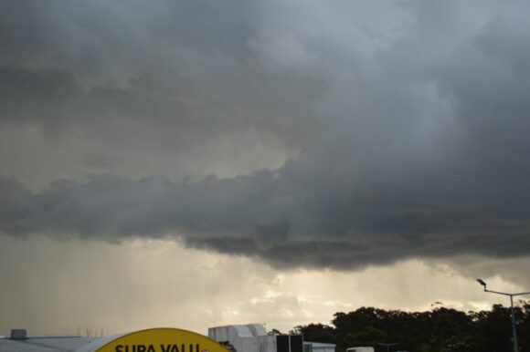
Late afternoon and as shown in the attached photos, further thunderstorm activity occurred across large parts of Western Sydney. The cells had peak intensity across outer Western Sydney and hail did fall from the strongest of the storms.
I was unable to chase but where I could, I managed to take photos where possible of cloud structure including cloud updrafts and cloud bases. After sunset the storms went into sharp decline. The second burst of storms did not reach the coast.


This was part of a much larger system and shower activity across coastal New South Wales is still lingering from this event at the time of writing.

Rainfall from this event was not as widespread as previous events with the heaviest falls confined to south east New South Wales and southern coastal areas. The heaviest falls as cumulative totals for the 4 day period include:
Camden - 50.8 mm.
Bombala - 51.4 mm.
Montague Island - 53.8 mm.
Jervis Bay - 60.2 mm.
Kiama - 71 mm
Moruya - 72.4 mm
Jervis Bay Airfield - 94 mm.
Moss Vale - 99.6 mm.
Ulludulla - 100 mm.
Sydney Observatory Hill - Now the second wettest year since records commenced
This event only added to a wet September but it showed that the thunderstorm season for spring and summer has commenced.
For Sydney city, this event has resulted in Sydney Observatory Hill receiving 2,100.82 mm of rain until 9 am September 30 2022 and within 94 mm of the record since rainfall records commenced.
However it must be noted that Sydney Observatory Hill has since received 11.2 mm of rain during the first two days of October and as such, the weather station has now overtaken the figure of 1860 of 2,110.5 mm. As such, 2022 is now the second wettest year for Observatory Hill.
Of interest, 2,112 mm has fallen at Observatory Hill to 9 am Sunday morning 2 October with just 82 mm to go to reach the milestone of 1950.
Given the strong likelihood of a significant rain event for the period Wednesday to Friday 5 to 7 October 2022, there is now the possibility that the record could be eclipsed earlier than expected.
