
A deep monsoon low has brought chaos, flooding rains and storms to parts of eastern India, much of Bangladesh and even areas of Myanmar. The monsoon low in the upper Bay of Bengal has made landfall bringing with it exceptional rainfall for many areas.
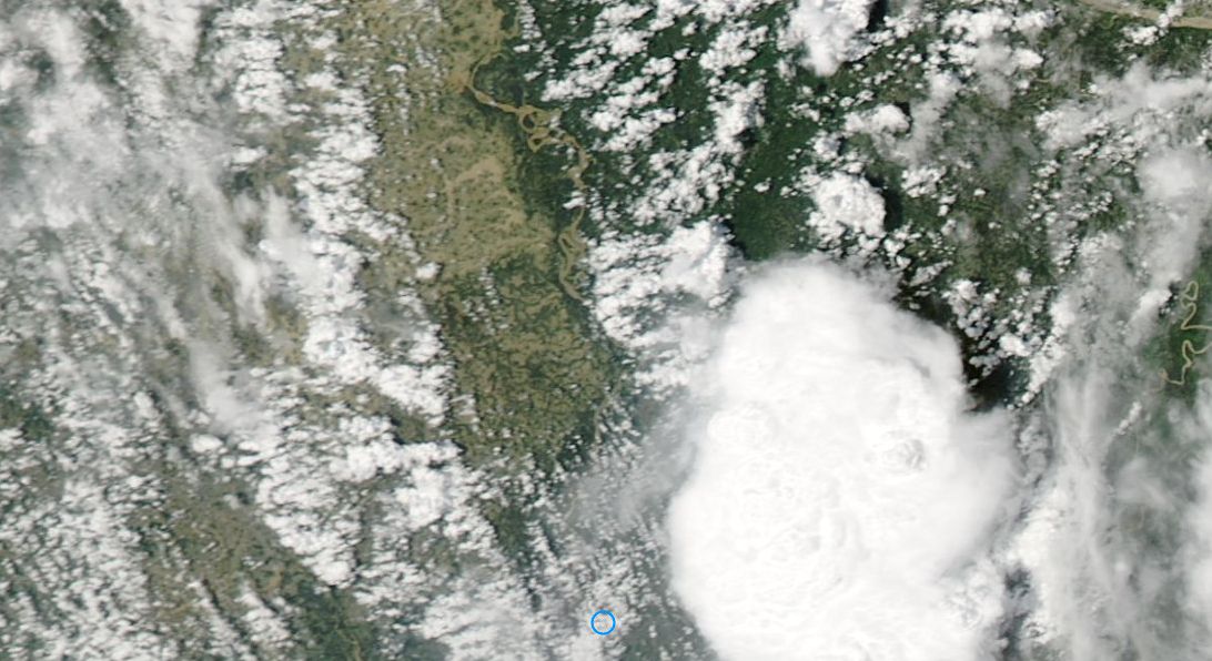
The images acquired from NASA 30 and 31 July from MODIS and TERRA satellites tell the storey of the floods. When seen carefully, the flooding can be seen from Earth orbit and it can be seen that the Ganges River has broken its banks. In particular, the first image provided shows a break in the monsoon rains over parts of Bangladesh. The Ganges River is seen as a muddy waterway. Areas to the immediate west of the river is inundated with flood waters from heavy rain this week.
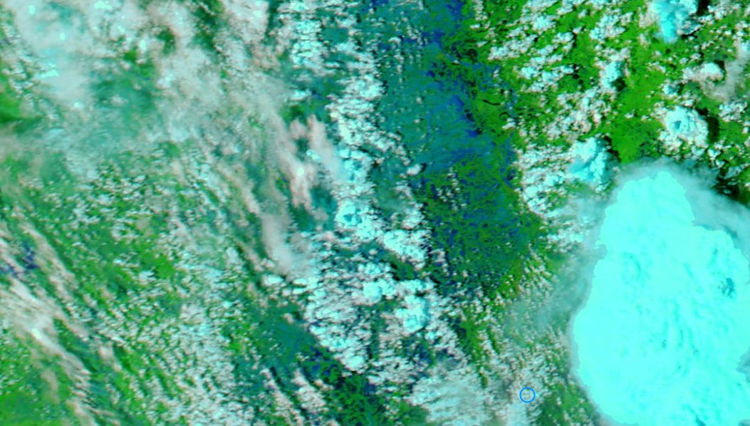
The False Colour image of the same region (TERRA) clearly shows the flooding coloured in blue. A large intense thunderstorm shown on the right continues the deluge for south east Bangladesh.
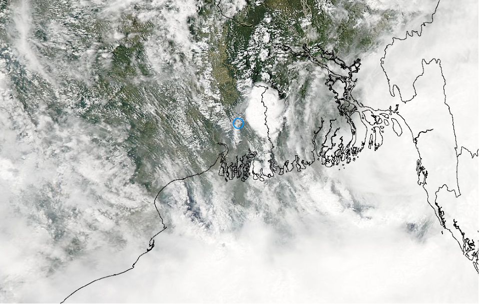
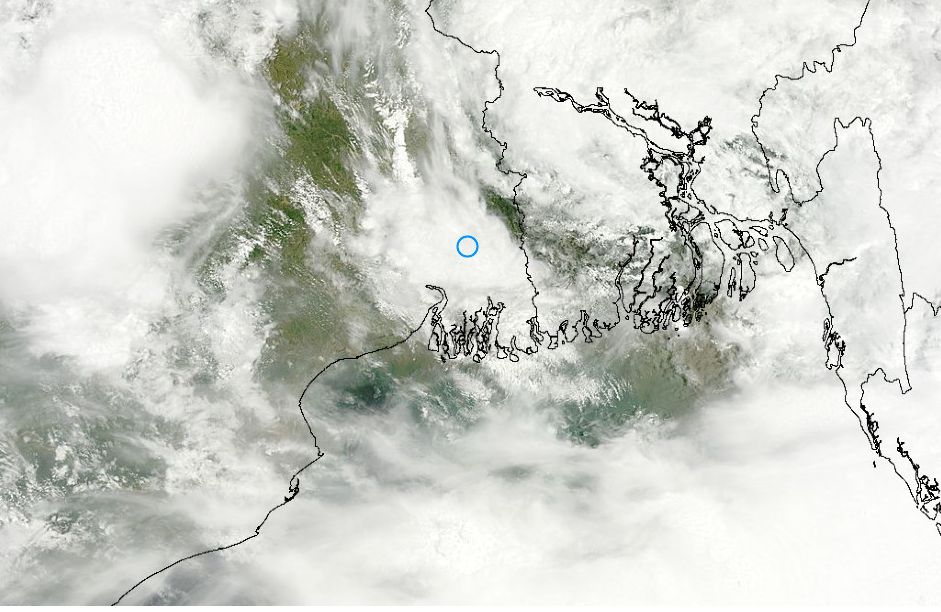
A satellite pass of the same region 31/7/2015 shows heavy cloud and storms impacting the area with widespread rainfall. A heavy rain alert is currently in force for parts of Bangladesh.
Intense rainfall has been a feature of the region over the past 7 days with some incredible rainfall being reported. For Bangladesh these include:-
Coxs Bazar 810 mm (From 25 to 31 July). This will likely rise as the 31 July progresses. This includes 154 mm on the 25, 116 mm on the 26 and 202 mm on the 27.
Kutubdia - 900 mm (From 25 to 31 July). This will likely rise as the 31 July progresses. This includes 240 mm on the 25, 178 mm on the 26 and 253 mm on the 27.
Teknae - 1,014 mm (From 25 to 31 July). This will likely rise as the 31 July progresses. This includes 131 mm on the 25, 148 mm on the 26, 331 mm on the 27, 63 mm on the 28, 114 mm on the 29, 121 mm on the 30 and 106 mm so far for the 31.
Feni had 185 mm on the 25 July.
Sandwip had 214 mm on the 27 July.
Chittagong has had 100 mm so far for July 31
Rangamati has had 150 mm so far for July 31.
Sitakunda has had 128 mm so far for July 31.
In adjoining India, some rainfall for the 30 July is reasonable from this event.
Note:- Rainfall is tallied in centimeters and not mm so figures are rounded out so some level of inaccuracy is occurring.
Gangetic West Bengal which includes Kolkata.
Manteswar - 20 cm (Approx 200 mm).
Harinkhola 19 cm (Approx 190 mm).
Salar 11 cm (Approx 110 mm).
Kolkata (Dum Dum Airport) had approximately 2 cm or 20 mm.
On a cumulative basis, it is evident that this is a major event and the reason why the flooding can be seen from a passing satellite.
This event will continue for a few more days and hence more flooding is expected especially since heavy rainfall warnings are in force for Dhaka, Khulna, Barisal and Chittagong Divisions (Bangladesh).
Note: Rainfall figures have been sourced directly from the Bangladesh Meteorology Department 31/7/15 and India Meteorological Department 31/7/15.