
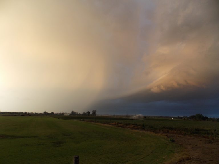
 the second day was better day with storms going up lunchtime for a while but started to weaken,about half an hour latter the northern side of the storm exploded, spoke with jimmy while on this storm,he couid see more structure from his point and informed me its looks like A LP SUPER CELL,was a very nice chase with heaps of hail at south maroota



Colin,
You have done well with positioning early on. Do show us the hail drifts where it dumped near Maroota.
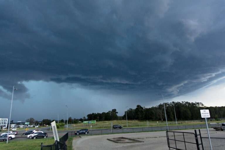
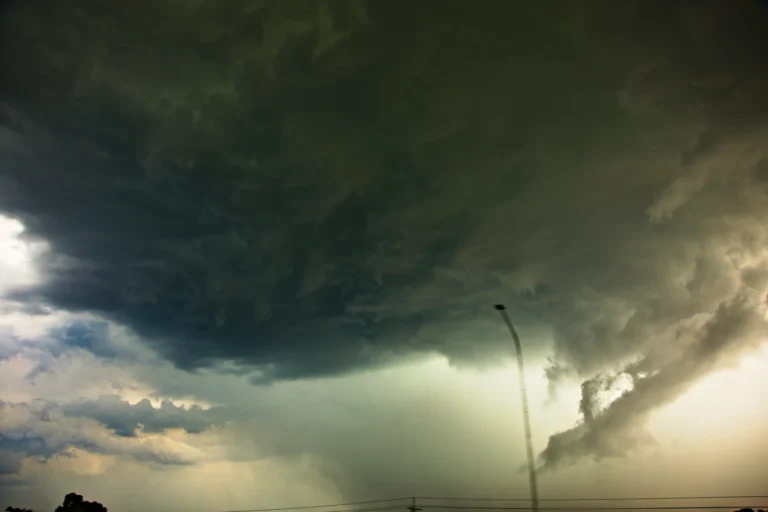
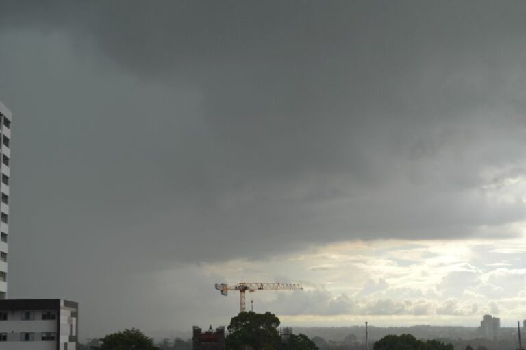
This is the storm structure from Mt Druitt. Quite nice actually!
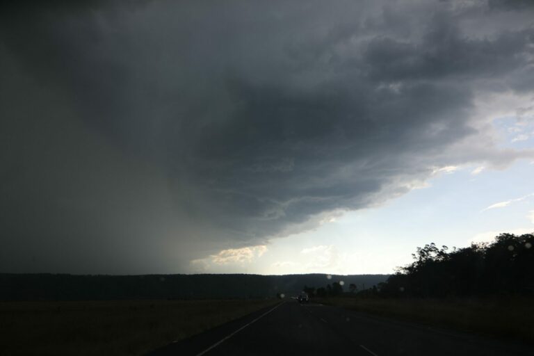
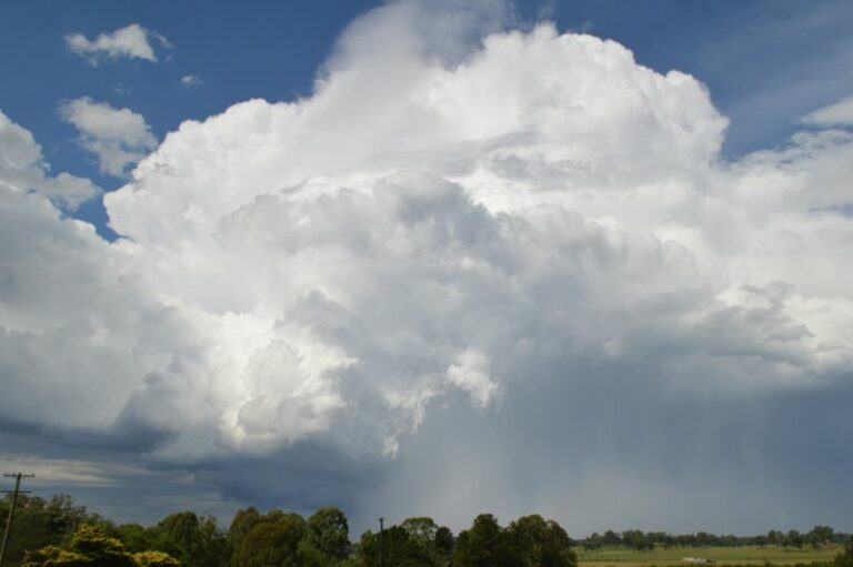
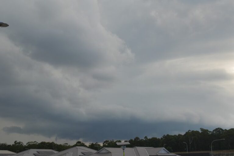
Here is the storm after it redeveloped and maximised over Maroota and Glenorie. Structure looked interesting but this was the best picture/opportunity I could get before the storm weakened – taken from Galston prior to descending into the gorge. This angle is probably looking NW.
Jimmy
What are your thoughts about this structure.
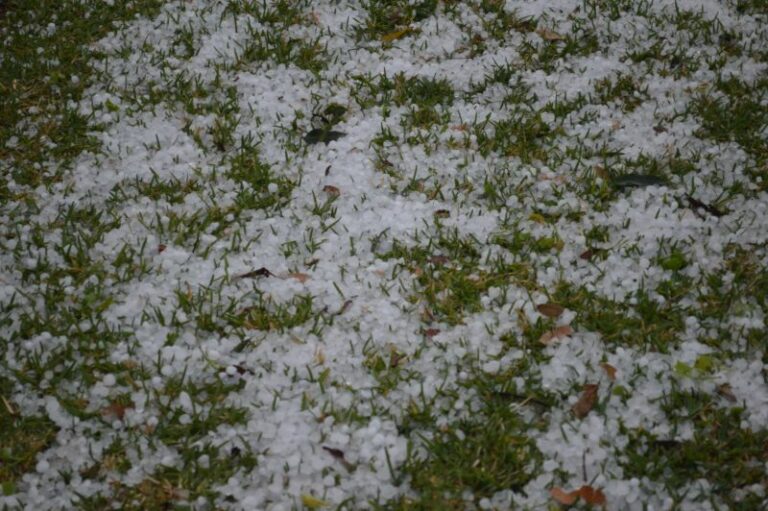
There were ample hail drifts in this storm and large hailstones Maroota and Glenorie area.
What are your thoughts about this structure.
There were ample hail drifts in this storm and large hailstones Maroota and Glenorie area.
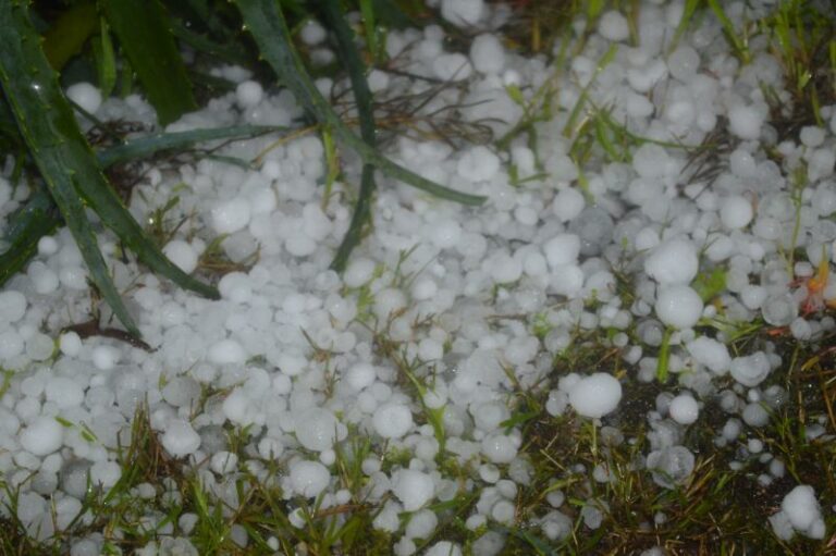
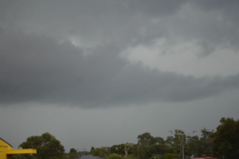
I loved the stucture on this storm ,i added two more pics , one showing the stucture just as the hail started in south maroota and the other shows a property coverd ,when i was driving back through where the storm went couldnt believe the amount of hail that was just one of the multiple hail shafts that storm produced
Thanks for those latest pictures – that was a nice cover of hailstones. Did you meausure their sizes?
Thanks for those latest pictures – that was a nice cover of hailstones. Did you meausure their sizes?
Yeah jimmy, the hail would of been any where from half cm to one cm,there was a warning out for two cm hail it was very impressive , but not as good as the 5 inch stuff I saw in olklahoma this year while chasing in usa
Nice photos there!! It was a nice storm – from my vantage point at Hornsby it looked outflow dominant but it looked nice for a while and was spitting out a fair few CG’s. When it got over Glenorie it dropped some suspicious lowerings with one getting me rather excited at one point but it was not to be.
Can’t seem to post more than one image at once… this is when the cell become weaker.
When it was over Glenorie
Looks great Ben! Finally I get to see some structure of the storm. It certainly was getting linear by this point! Still a solid looking multicell!
Jimmy
Wow the more images that are posted and we get more evidence from various perspectives of this storm with imagery covering life cycle of this event.
I love the base here! One needs to be in front of it at this stage.
Regards,
Jimmy Deguara
Nice shots there Ben,I love all the different shots we all have at different times through out this storm
At what time was the first photograph in this collection taken with the updrafts? I am tying to piece together the early stages of the images and storm history.
Regards,
Jimmy Deguara
Jimmy the first updraft pic was 1.57 pm
Does anyone have any news in response to hail sizes from this event?
Does anyone have any news in response to hail sizes from this event?
Mini tornado at Cambridge park/Kingswood today! People said at least 100m in width took out trees, house and shop roofs, doctors surgery roof collapsed, windows blow out!