Began the day heading to Exeter and then after something to eat, headed to Marulan - out target. It only took about 30 minutes before cumulus began to break the cap. After moving around for a good position, we finally settled a few kilometres out of town. The storm broke through one more level and within minutes - lightning. As the storm dumped the lightning increased in frequency. Who came down the road - Michael Thompson! Video was obtained and we exchanged the usual welcome stories. And then a little false excitement - Yep "outfloW! 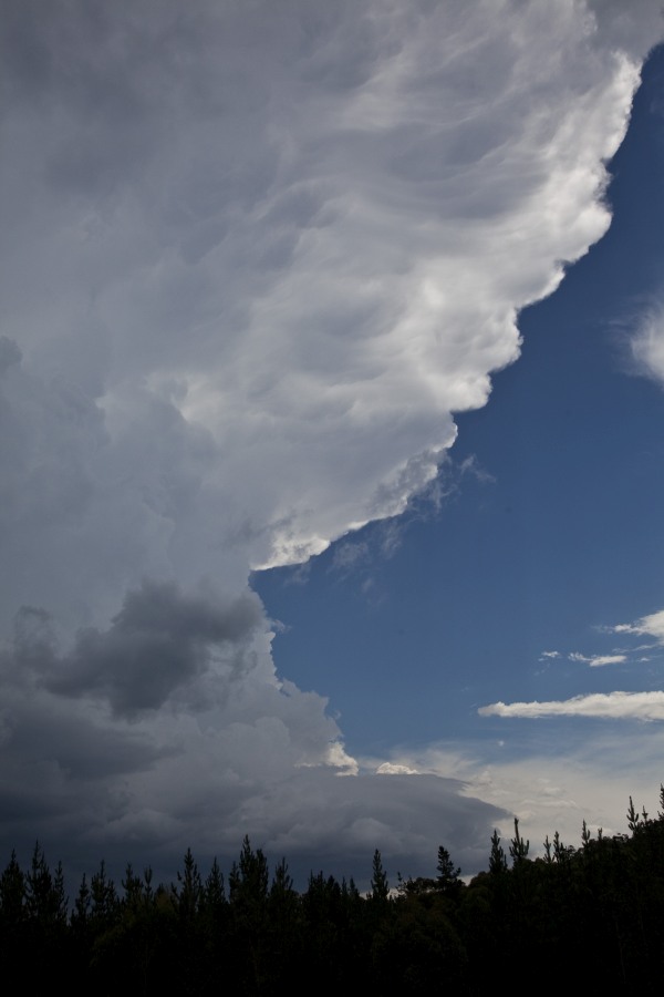
 Contemplating another move, we simply relocated north. The outflow pumped up more storm updafts. Occasional strong bolts increased in frequency as the storm once again cranked up once more. With updrafts surrounding us, and more rain approaching, we headed north once more. Upon approaching Exeter, the back-sheared anvil appeared. For Harley and Colin though, they did not see what I was seeing and simply stood there in astonishment at how crisp and powerful the anvil was! there were a couple of intense cores to the south east and another to the southwest. Sampling the core only yielded the declining storm intensity phase despite the warning being renewed for our area. With anvil heaven, the source of heating diminished right across the region and in the end covered even the Sydney region. Chase over!
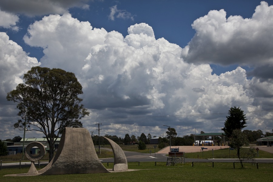
11 thought on “Severe Storms Southern Tablelands 24th January 2015”
Leave a Reply
You must be logged in to post a comment.
Added video here to this post
Added video here to this post
Added video here to this post
This was another great chase with Jimmy and Colin and we covered some 350 km for the day. As Jimmy pointed out, storms did fire as anticipated around Marulan but by late afternoon, too much anvil cloud covered the region which ended the chase early.
I should also point out that early in the day, Jimmy pointed out to me that some heavy rainfall would occur around Marulan and or an area near Goulburn. I advise that the model correctly picked this up because the rain event was substantial in that very area. The following totals occurred:-
Murrays Flat – 78 mm.
Goulburn Mt Grey – 72 mm.
Pejar Dam – 60 mm.
Bumbulla – 57 mm.
Taralga Alert – 53 mm.
Bumana (Near Goulburn) 29 mm.
Tallong SE of Bumbulla had just 11 mm.
All of the figures are within close proximity to Goulburn and Marulan and some are probably farms or rural localities.
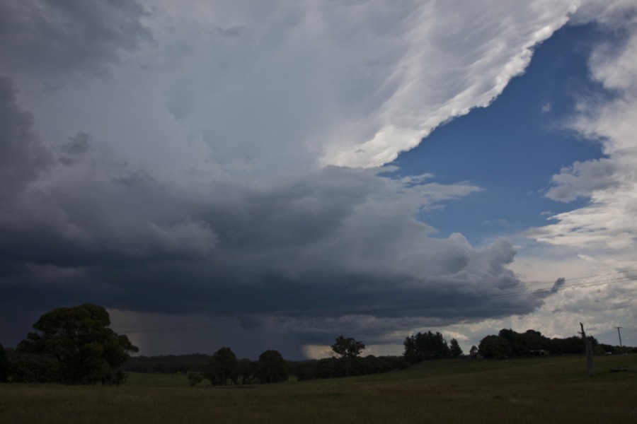
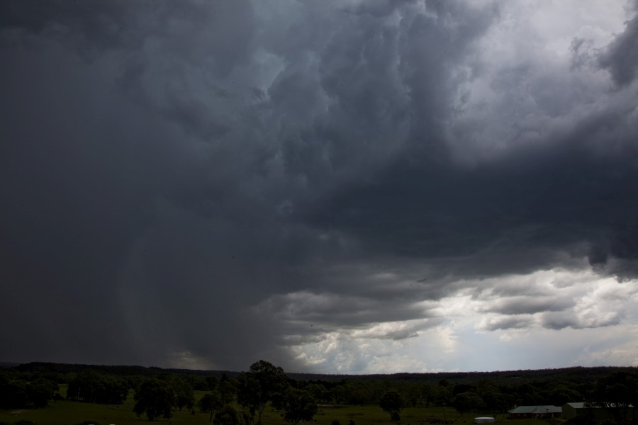
As mentioned above, we stopped to view an impressive anvil cloud from the freeway. I could not see that until I pulled over as I was the driver. It was quite spectacular with strong contrasts and interesting colourations.
I add some photos of the event.
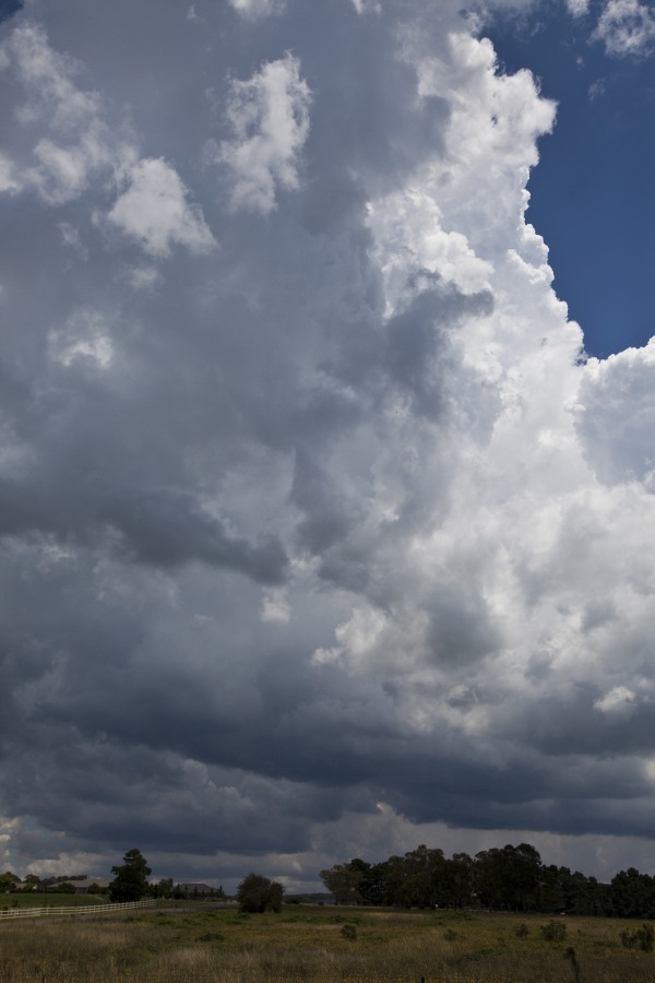
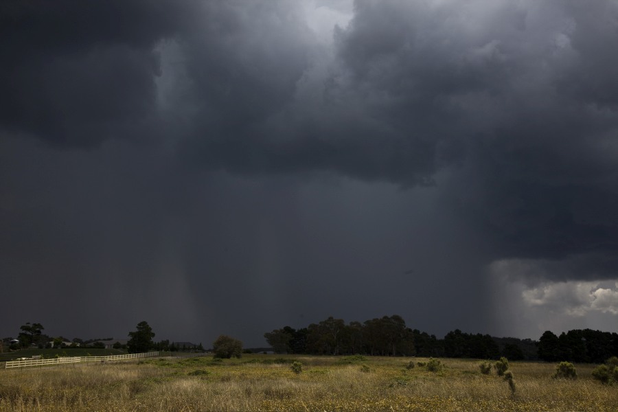
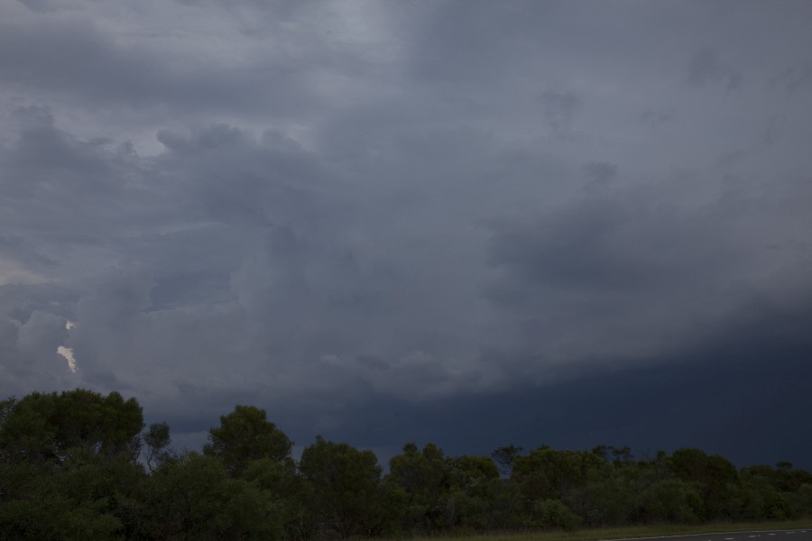
The images here and above are the storm near Marulan.
When looking for this viewing spot, I was stunned to see 4 kangaroos bounding on the side of the road at 1 pm or so. I have never seen kangaroos bounding about in such heat at that time of day. It is all part of the storm chase experience.
I like the cumulus tower!
I like the cumulus tower!
The sixth photo of my post shows a close up of what appears to be some form of a microburst just to the west of us.
We were at Murphys Lane to view that. Unfortunately that is a short section of road and ends at a farm gate. It is not a road for chasing storms.
Photo seven shows the spectacular anvil cloud while photo 8 shows the contrasts south along the freeway to the precipitation region.
Upon our return to Sydney, we noted a storm cell to the north west towards Colo Heights.
I did not go after that but the remnants of it did pass through western Sydney producing a shower (4.2 mm at Blacktown). I did see some lightning flashes off to the east north east from a different cell as the cloud mass passed over.
Not directly related to the storm event / showers from this event, I was at Penrith early this morning (Sunday morning 25/1/2015 at around 7 am). With such high dew points and temperature both around the 20 to 21C, I was stunned to see fog. I documented the fog by taking a number of photos and it was a decent fog as well. I have never seen a fog occur in January mid summer. As soon as the fog lifted, it heated up quickly to around 36C for the day. Quite interesting contrasts of weather over such a short period of time.
Late Sunday night, I worked on my video film to find out how many lightning flashes I captured from the event. I only captured two strikes with one from the Marulan storm and one from Murphys Lane.
I add them both here to conclude my post.
I have discovered when reviewing my video and re editing video, a lightning strike that I did not know I had. This strike cannot be seen under normal viewing of video but when analysed frame by frame, I have discovered this.
It is a strong bolt but extremely brief. It is worth posting this image to this thread.