
Shelf cloud formation infront of a line of storms which came through Sydney and Illawarra this afternoon.
pic Nick Moir 8 nov 2011
Places
Storm types
Pages
Chasers
Storm report
Shelf cloud formation infront of a line of storms which came through Sydney and Illawarra this afternoon.
pic Nick Moir 8 nov 2011
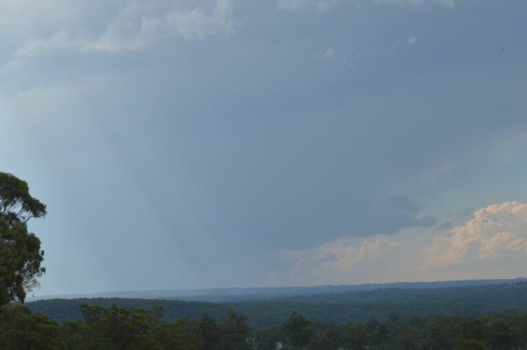 Another Hot Day and Storms Struggle to Form over Sydney – 8 November 2025
8 Nov 2025 · Greendale, NSW
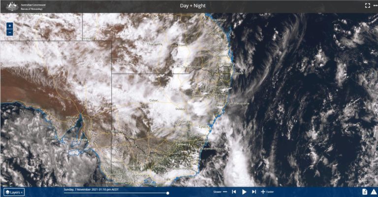 Rain and Storms – Southern Australia – 6 to 8 November 2021
8 Nov 2021 · Southern Australia
 Hailstorm N of Mendooran
8 Nov 2020 · Mendooran, NSW
 Hailstorm N of Mendooran
8 Nov 2020 · Mendooran, NSW
 Hailstorm near Mendooran and Dunedoo
8 Nov 2020 · Dunedoo, NSW
 Base of storm just S of Lithgow #storm
8 Nov 2020 · Lithgow, NSW
 [ad_1] [ad_2] Source
8 Nov 2020 · Lithgow, NSW
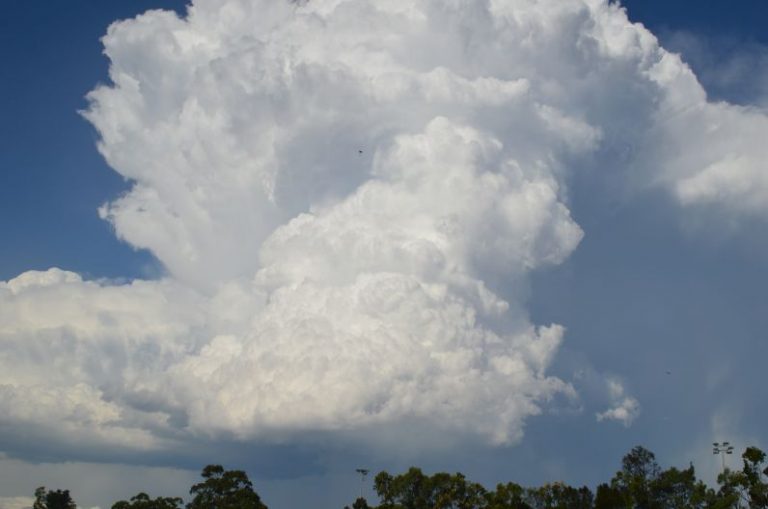 Sydney severe storms December 20 2018
8 Nov 2020 · Auburn, NSW
 Hail to 2.5cm E of Lithgow #hail #hailstorm #storm
8 Nov 2020 · Lithgow, NSW
 Possible supercell in the Wollemi 5pm it developed right over us with hail and m…
8 Nov 2020 · Capertee, NSW
You must be logged in to post a comment.
sd intersting cell which developed in front of the main line , it displayed some rotation for a while. taken in queens park
Hi Nick,
Nice shelf cloud structure! Well done!
We Jeff Brislane and I, were in that storm after getting hammered by the cell merger near Wollongong or more accurately Stanwell Tops region (a cell merger is where two cells merge and can either pass through un affected or they more often intensify rapidly). This cell merger rapidly intensified. We drove through about 7 minutes of hailstones with diameters of 1.5 to 2cm! The cloud to ground lightning was incredible there too! We also got some hail from the cell near Southerland.
Pictures later.
Regards,
Jimmy Deguara