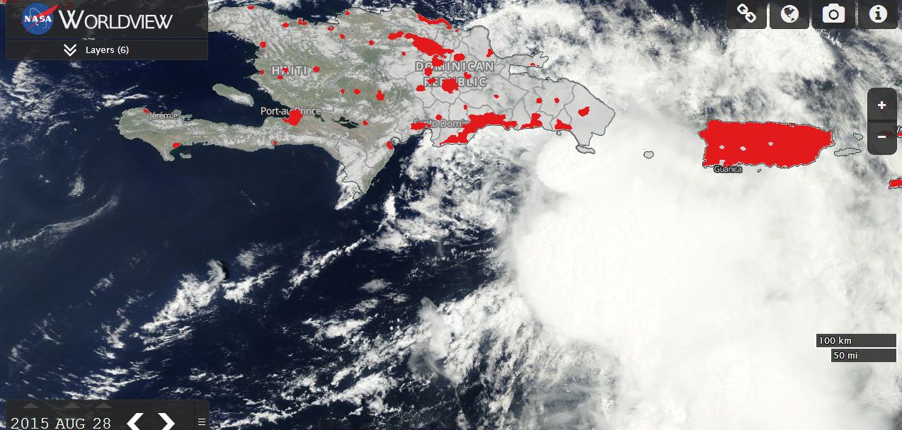
The MODIS Worldview image acquired from NASA and dated 28/8/2015 with urban overlays is showing the islands of Puerto Rico (Small island to the east) and Hispaniola (Larger island to the west) comprising the Dominican Republic and Haiti.
A small but deadly tropical storm named Tropical Storm Erika has struck the Dominican Republic and Haiti over the past day with heavy rain which has created mudslides and flooding.
The satellite photo is showing the cloud mass forming Tropical Storm Erika with strong convection and cumulonimbus clouds being highly visible as the storm approached the island from the east.
Torrential rainfall and winds to 85 km/h has been a feature leaving up to 200,000 residents on Puerto Rico without power. According to news sources:-
There are currently 31 missing in the Dominican Republic.
Up to 20 fatalities.
Up to 80% of the population without power.
Heavy rainfall in excess of 350 mm.
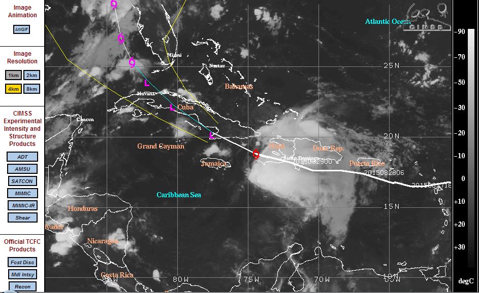
The storm is being tracked by CIMSS but it is not clear if the storm will survive the mountains and while a forecast track to the north west is generated on the CIMSS model (Acquired 29/8/15), its movement is not clear. Should the storm survive intact, it may track north west towards Florida or the west coast of the state following landfall across Cuba. If not, the storm could break apart and no longer be a threat.
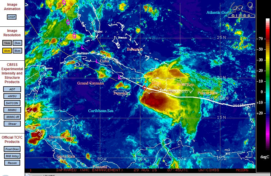
Latest radar images is showing the storm breaking apart although some convection is still identified to the south of the island. It is too early to calculate what the storm will do next.
Notwithstanding this and despite not being a hurricane, the storm has inflicted a significant loss across the Dominican Republic over recent hours.