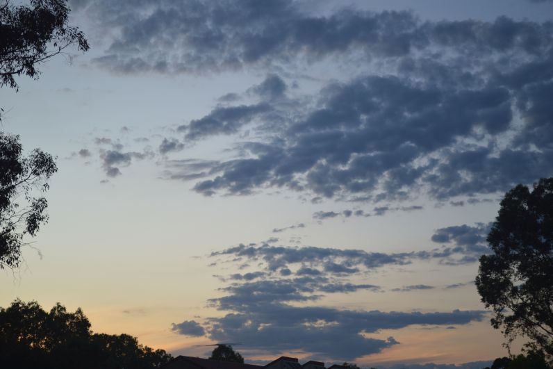
The month of December has been a month of strong contrasts. The month commenced with below average daytime temperatures continuing but a strong burst of summer heat commencing from the 21st onwards saw an end to the run of below average daytime temperatures.
For most regions except along the eastern coastline of New South Wales, it has been a drier month with average or below average rainfall featuring.
Conditions have started to dry out and there is evidence that the climate drivers influencing the rainfall are now starting to change. While there have been thunderstorms and significant rainfall events, these have been more isolated in nature when compared to previous months.
The most significant weather event was a strong burst of summer heat between the 23rd and the 28th December that saw 6 consecutive days across Western Sydney generally west of Parramatta / Blacktown where maximum daytime temperatures reached or exceeded 30C. It reached 30C or higher on 9 days this month where I live.

During this time, a sustained burst of summer heat featured across the inland areas for the first time and maximum daytime temperatures exceeded 30C for more than 4 days in a row depending on location.
On the 27th December, maximum daytime temperatures reached or exceeded 37C at many inland western and southern inland locations including:
- Dubbo - 36C.
- Albury Airport - 37C.
- White Cliffs - 37.7C.
- Bourke - 38C.
- Yanco - 38.5C.
- Pooncarrie - 40.7C.
In Victoria, the burst of summer heat was slightly stronger with some maximum daytime temperatures as follows:
- Bendigo - 37.1C.
- Echuca - 38.5C.
- Shepparton - 38.6C.
- Swan Hill - 39.2C
- Nhill - 39.3C.
The strongest heat was felt across South Australia where maximum daytime temperatures reached 40C across the Murray District, Northern Agricultural District, Northern Pastoral Districts and across the outback regions. A maximum temperature of 43.2C was recorded at Tarcoola and a temperature of 44.2C was recorded at Ceduna on the 27th of the month.
It is identified that a 40C day was recorded across Adelaide on December 27 and large areas of South Australia did endure 2 to 3 consecutive days where maximum temperatures reached 40C between the 25th and the 27th of the month.
This is a strong contrast to what has been occurring in recent weeks including snow events across the Snowy Mountains of south east New South Wales.
The month was punctuated by key rainfall events with the most significant being:
- Monday 12 December 2022 - A storm passing over Penrith produced a strong wind gust of 88 km/h at 10.30 am. This was part of a squall line that passed over Sydney unusually early being mid morning. The storm produced 16.2 mm of rain at Sydney Observatory Hill in 6 minutes between 10.46 am and 10.53 am for a total of 22.6 mm for the whole event.
Generally, rainfall totals were relatively light across Western Sydney while totals south and east of Blacktown generally ranged from 12 mm to 15 mm for the whole event.
- Thursday 22 December - A strong thunderstorm crossed north west of Melbourne that brought 43 mm of rainfall in 29 minutes between 5.08 pm and 5.37 pm and peak wind gusts of 80 km/h. Total rainfall at the Tullamarine Airport topped 60.4 mm. Hail was also recorded and flash flooding featured. It is also known that water damage occurred inside the airport terminal.
- On Saturday 24 December, thunderstorms at Cessnock dropped 66.8 mm of rain.
- The northern monsoon arrived over northern Australia which included the development of a tropical storm which made landfall over remote areas of the Northern Territory / Western Australia state borders early Friday morning (23 December 2022).
The Bureau of Meteorology classified the storm as a Category 1 tropical cyclone using the "Australian Tropical Cyclone Intensity Scale" with peak winds to 75 km/h and higher gusts to 100 km/h but using the Saffir Simpson Scale, the storm was well below Category 1 strength and only attained a strength of “tropical storm”.
However, the storm did produce heavy rainfall and flooding rains over affected regions.
Lack of thunderstorm activity Western Sydney
Across Sydney, there were only two thunderstorm days. It is acknowledged that the storms were stronger elsewhere across the city but where I live, the storms were relatively weak. Generally, there has been a lack of thunderstorms this season to date and a resultant lack of any storm chases.
December Rainfall
Rainfall dropped sharply throughout December especially in areas away from the coast. Coastal rainfall was still high as demonstrated in the table below.
The table below shows the final rainfall for the period 1 January to the 31 December 2022 which will conclude the series.
| Sydney Region | December 2022 | Final tally for 2022 | Comment |
| Parramatta | 19.8 mm on 8 days. | 1,787.8 mm. | |
| Penrith | 14.6 mm on 7 days. | 1,596.6 mm. | |
| Richmond | 15.6 mm on 8 days. | 1,498.2 mm. | |
| Sydney Observatory Hill | 78.2 mm on 10 days. | 2,530 mm. | Wettest year recorded.
Of the major Australian cities, only Darwin in the NT has recorded more than 2,500 mm of rain in any given year. |
| Home (Comparison and guide only) | 14.7 mm on 7 days. | 1,706 mm.
|
It is calculated that rain has fallen on 166 days throughout 2022 representing 45.4% of days of the year. |
| North Coast NSW | December 2022 | Final for 2022 | Comment |
| Ballina | 119.6 mm on 22 days. | 2,896.4 mm. | |
| Coffs Harbour | 122.8 mm on 17 days. | 2,625 mm. | |
| Dorrigo | 139.9 mm on 12 days. | 2,970.1 mm. | |
| Grafton | 52.2 mm on 9 days. | 1,616.2 mm. | |
| Port Macquarie | 56.8 mm on 14 days.
|
2,368.8 mm. | The final figure for 2022 is in doubt. |
| Wheat Sheep Belt NSW (Inland) | December 2022 | Final for 2022 | Comment |
| Albury Airport | 22.6 mm on 5 days. | 1,265.2 mm. | |
| Dubbo | 6.4 mm on 3 days. | 1,028.8 mm. | |
| Forbes | 26 mm on 6 days. | 997.4 mm. | |
| Tamworth | 38.8 mm on 6 days. | 923.4 mm. | |
| Wagga Wagga | 47.4 mm on 7 days. | 785 mm. | The final figure for 2022 is in doubt. |
The main feature is a much drier month for inland areas including Western Sydney but coastal rainfall still remained relatively high.
Discussion Water and the Land plots
Attached are relevant Water and the Land Plots showing rainfall for December 2022 to reinforce the discussion above. The standout figures are:


- There was a significant reduction in rainfall for December especially across the Murray Darling Basin.
- It was still relatively wet across coastal north east New South Wales and eastern Victoria where totals reached between 100 and 200 mm for the month.
- Rainfall returned to “average” across much of inland New South Wales but fell below average across far western areas including western Victoria.
- Large areas of Sydney experienced more than 2,000 mm of rain for 2022 with the highest figure being 2,686 mm recorded at Castle Cove and the lowest being 1,498 mm recorded at Richmond. Every single figure across Sydney exceeded Sydney’s Observatory Hill average annual rainfall of 1,213 mm.

- The wettest location in New South Wales for 2022 was 3,958.6 mm at Rosebank (Far north Coast) with the second wettest location being Robertson (West of Wollongong) where 3,625.8 mm fell.
- In New South Wales, the wettest location inland from the coast is Perisher Valley where 2,835 mm fell for 2022. Additionally, there are numerous towns and localities on the slopes and eastern plains where more than 1,000 mm fell for the year including 1,297 mm at Burrinjuck Dam near Yass.
- Average maximum daytime temperatures were 1C to 3C below average across the whole of eastern Australia while nighttime averages were 1C to 4C below average for the same areas except for southern Victoria where nighttime minimums were generally average or less than 1C above average.

Comments
1 - All rainfall and historical rainfall used is sourced from BOM historic data and data from official weather stations.
2 - While I have a rain gauge set up in the rear yard, it is only being used as a guide but it is noted that it is relatively consistent with official figures occurring at nearby Prospect and Horsley Park where official weather stations are established.
3 - The La Nina episode is expected to wane early 2023 and forecasts are being made for a significant reversal of climate drivers to either neutral or more El Nino like conditions for late 2023.
4 - The major flood event impacting the Murray River reached South Australia with Mildura, Renmark and Murray Bridge being impacted especially during the last days of December 2022.