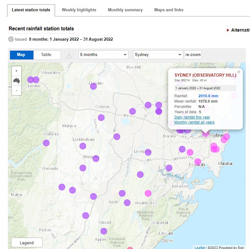
So far for 2022 - 2,063.4 mm of rain has fallen
For the period 1 September to the 17 September 2022, Sydney Observatory Hill has recorded 52.8 mm of rain spread across 10 days. This is significant because the city has edged closer to the rainfall record of 1950. The Observatory Hill weather station has so far recorded 2,063.4 mm across 147 days for 2022 and there are still 3.5 months left of the year.
As the current figures show:
- 1950 - 2,194 mm.
- 1860 - 2,110.5 mm.
- 1890 - 2,071.1 mm.
- 2022 - 2,063.4 mm (As at September 17 2022).
- 1963 - 2,035.6 mm.
Over the past week, the weather station eclipsed the 1963 figure of 2,035 mm by a wide margin following recent falls including a moderate fall of 20 mm that fell Thursday evening.
The city only needs another 8 mm of rain to overtake the figure of 1890 and with weather models showing another significant rain event for Wednesday and Thursday - 21 and 22 September, the figure of 1890 is expected to be eclipsed resulting in the weather station moving up another notch to "third wettest year" since records commenced.
Another rain event September 21 and 22
Another significant rain event is forecast to cross New South Wales on Wednesday and Thursday that is expected to produce widespread 15 to 30 mm falls across the state with some higher totals should more thunderstorms occur.

First two rain events for September
It has already been a wet month for much of inland New South Wales and there are locations where the monthly averages have already been eclipsed by a wide margin.
So far this month, there have been two significant rain events with the first event occurring between the 8 and 10 September that produced widespread cumulative 25 to 50 mm falls across the state.
The first event also produced some thunderstorm activity including a non severe storm that passed over parts of Western Sydney on Friday afternoon the 9th September.
The second event was also sizeable in scale with significant falls occurring across the North West slopes of New South Wales. Again falls of 25 to 50 mm dominated although higher totals of 60 mm also fell across small areas of the north west of the state around Tamworth.
The second event being so close to the first event and occurring after a wet August has been enough to trigger minor to moderate flooding along some inland rivers such as the Lachlan at Forbes, Macquarie River around and near Dubbo and Moree (Mehi River).
The same event also produced some thunderstorm activity across the west of the state and parts of North East Victoria.
A third event likely on Wednesday and Thursday will only add to the flooding issue that is starting to develop along some inland rivers. This event like the previous one is expected to reach the coast and should deliver Sydney its third wettest year since records commenced.
All time record is in sight


It is becoming clear that the all time rain record of 1950 for Observatory Hill is now in sight and at present rates, this could be topped during late October or sometime during November. Only time will tell. Given that a third La Nina in a row has now been declared for the season, the all time rainfall record for Sydney of 1950 is certainly a possibility.