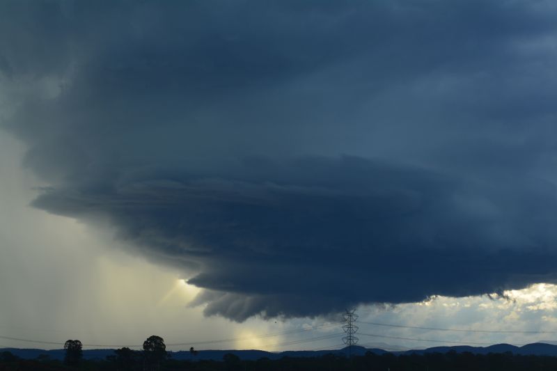
Severe thunderstorms were observed across various region of NSW South Coast Metropolitan Sydney and northern parts of the state causing widespread hail damage. Friday afternoon April 7 2023 will certainly be remembered as a day in which a significant thunderstorm outbreak occurred across Eastern New South Wales including the Canberra region and Eastern Queensland.
The activity was generally contained within eastern areas of both states and occurred ahead of a significant cold front and wind change.
The day started off highly unusual in which morning fog lingered until approximately 8.30 pm around Doonside and nearby locales (Western Sydney). The approach of thick cloud and a rain band dispersed the layer of fog.
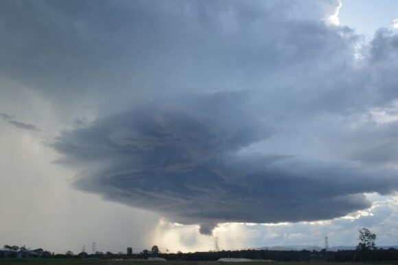
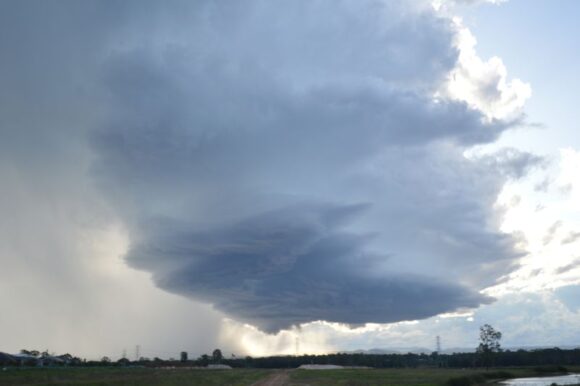
A narrow band of rain ensured which cleared late morning resulting in some afternoon sunshine and heating. After 4 pm, thunderstorms developed culminating in some significant thunderstorm activity including an early evening lightning show.
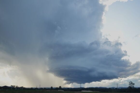
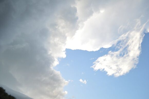
As shown in the attached photos, I undertook a local storm chase from Doonside to near Windsor focusing on this thunderstorm cell. This cell became one of the best April storm cells that I have seen in terms of structure and I was able to document much of its development, its shape and base. It was a small compact storm but very photogenic and well structured. The highlight was its base and its solid glaciated anvil.
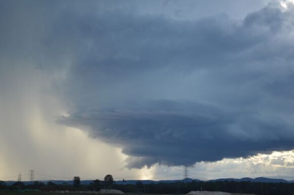
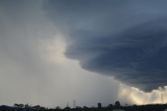
I later managed to skirt the hail core driving west to intercept the main rain free storm base, then I drove back east into and through part of the hail core along Richmond Road at South Creek.
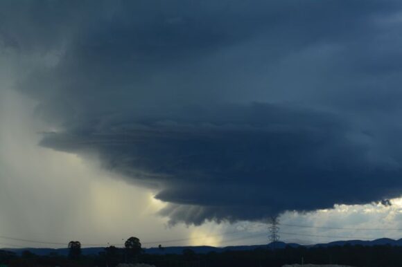
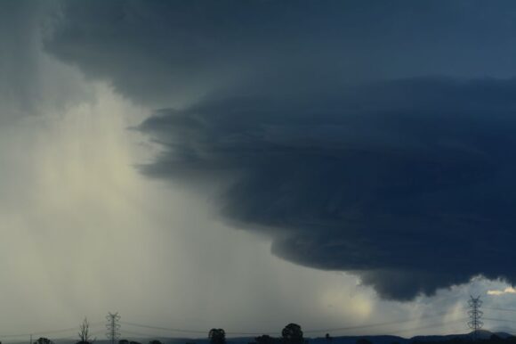
I made two stops at different locations to sample the hail and noted that copious amounts of hail fell within a narrow area between South Creek (Richmond Road) and to the Garfield Road / Richmond Road intersection.
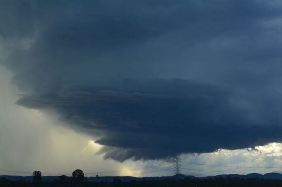
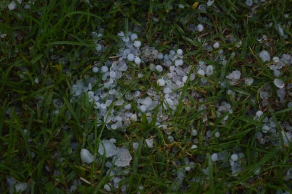
I was able to identify much hail 2 cm to 3 cm and 3.5 cm in size with the occasional stone reaching up to 4 cm in size.
I made a lengthy stop at an area opposite the Marsden Park Primary School to sample the hail. Whilst there, a second thunderstorm passed overhead. I only became aware of it following a significant lightning strike and thunderclap close by.


With the second storm cell effectively overhead. I relocated to Penprase Street near the Riverstone Cemetery to experience the storm core. As it turned out, there was no hail but just a heavy rain shower.
Later that evening, a lightning active squall line passed off the coast and I stayed outside to watch the show.
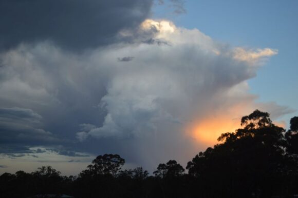
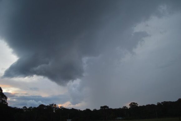
While the Western Sydney thunderstorm was significant in terms of structure, shape and its impact, this was part of a much larger system with strong storms impacting other regions, towns and localities. These include:
- Wagga Wagga.
- Batemans Bay - My parents identified hail from a storm of around 1 cm or slightly larger.
- Oakey (NW of Toowoomba) - A wind gust from a thunderstorm topped 104 km.
- Large hail fell east of Cecil Plains (Queensland) up to 10 cm across.
- Yass - Large hail reported from a thunderstorm.
- Nowra - Large hail reported.
- Storms also impacted Mittagong / Bowral area including a significant storm west of Wollongong.
- Canberra region.
Radar Images
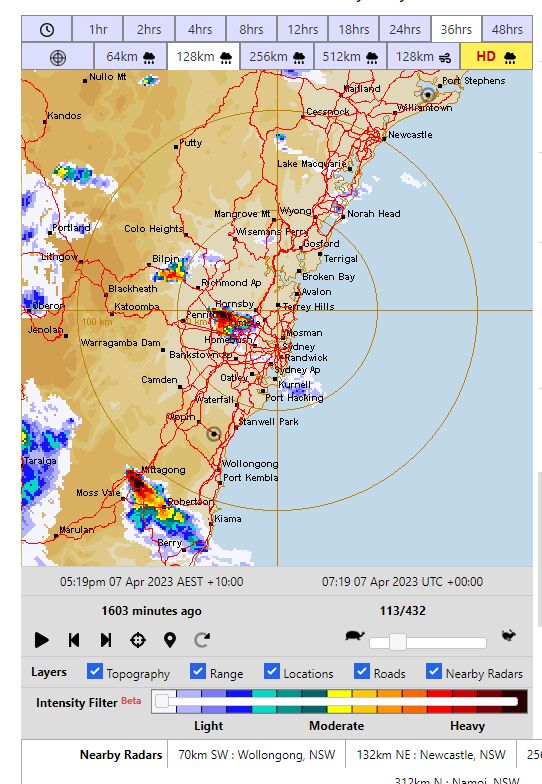
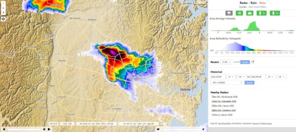
Of interest, the Sydney radar image around 5.19 pm late Friday afternoon, shows the thunderstorm at peak intensity over North west Sydney. It is a very isolated cell with a small core. The black core shown on the image passed over Richmond Road just south of South Creek Windsor Downs which is generally where I was. This is where I found the largest hail.
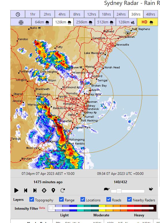
That cell went into decline further east.
Of interest is the second cell around Mittagong and Bowral on the Southern Highlands (South of Sydney). It approached Wollongong but weakened just prior to its crossing of the coastline. That cell too had significant hail.
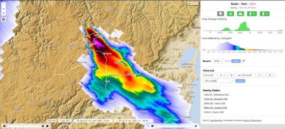
A squall line followed which quickly passed out to sea and all storm activity was over by 9 pm Friday night.
The high resolution radar images of the two strongest storms are attached shows the two storms of interest from the Sydney Radar as well as my photos. The photos are taken using my DSLR 3200 and 5200 Nikon cameras.
Rainfall totals from the storm outbreak were not significant. Falls did reach 30 to 40 mm at Moss Vale and isolated totals of up to 85 mm at Grafton Airport but for the most part, final rainfall totals were light to moderate for most regions from the event.
