With the demise of Tropical Hurricane Blanca that dropped between 75 and 150 mm of rain across areas of Baja California, a new tropical threat now lies south of Mexico.
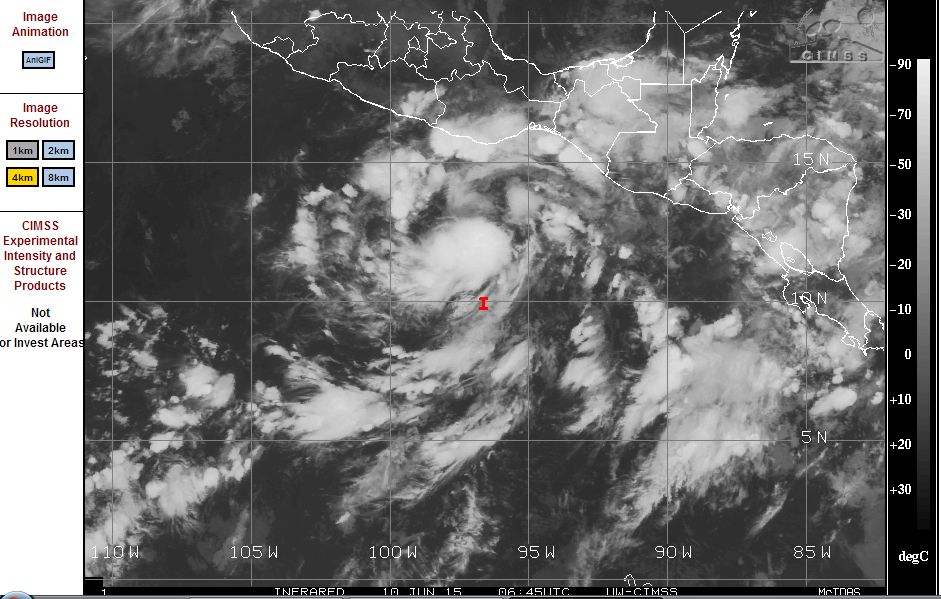
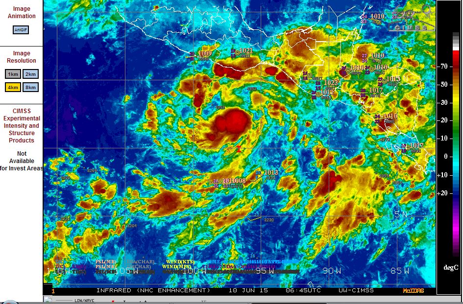
Satellite imagery is identifying what appears to be the birth of the next storm which over the past 24 hours has intensified. This storm which is beginning to approach the thresh hold of a tropical depression would if it continues be named "Carlos". If this develops further, it would be given Hurricane status.
According to observations, wind speeds close to the centre have already increased to 25 knots as the storm takes shape.
This storm is posing a threat to the southern coast of Mexico. Accurate forecast models are not available but there is suggestion that it could enter the Gulf of Tehuantepec and threaten coastal cities such as Acapulco and Salina Cruz and others within vicinity of the storm.
The storm is visible using satellite imagery from CIMSS. In addition, the structure of the storm is clearly identified in the infra red image attached (CIMSS - 9 June 2015).
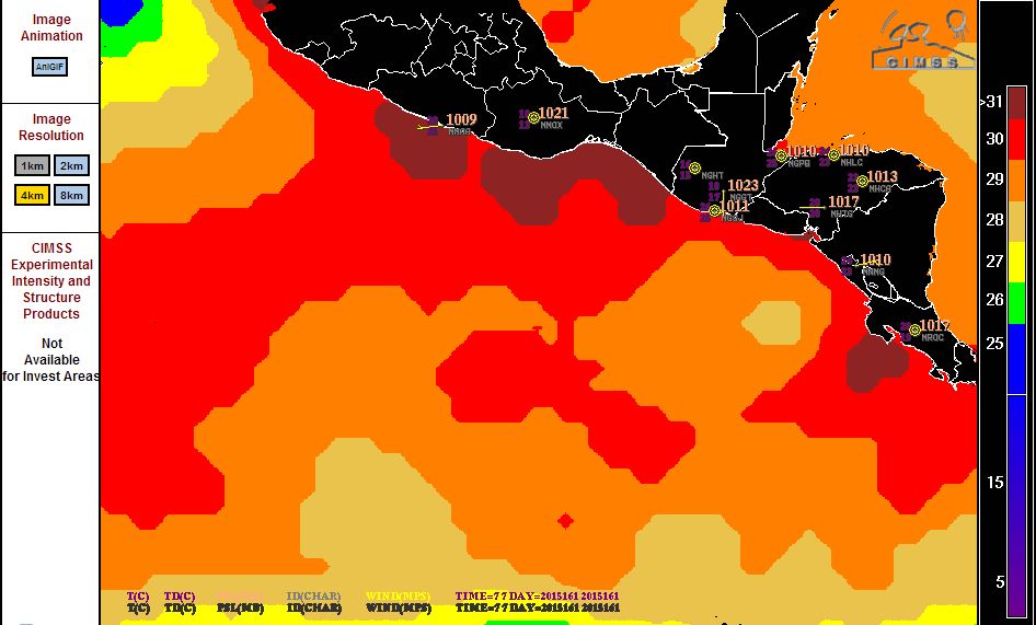
This storm is continuing a very busy start to the hurricane season in this part of the Pacific Ocean. Part of the reason as shown in the attached sea surface temperature plot (CIMSS) model is that sea temperatures are in the range of 29C to 30C off the southern coast of Mexico which is fueling the hurricanes and tropical storms. Sea surface temperatures are slightly above average within this region and conditions are favourable to sustain the storms. This storm would have some movement north west should it develop further but models are not yet available to determine what it is likely to do.