The attached rainfall plots generated to the end of April 2025 being the GFS and ACCESS G are showing some interesting rainfall accumulations to occur across southeast Australia over the next 6 days.
A low pressure system is expected to track across New South Wales during Friday and Saturday then develop into a weak offshore low pressure system (Most likely off the Lower North Coast of New South Wales at this stage).
The system is expected to provide desperately needed rain across a region of western Victoria and New South Wales that is now entering drought. Maximum rainfall across the region appears to be within the range of 15 - 30 mm. While useful, it will not be enough to lift the region out of its current rainfall deficit or drought.
The event is likely to weaken as it tracks east. The low should then cross the coast with the rain intensifying again along the New South Wales coast as winds swing more towards the south east.
Models are showing potential cumulative falls in excess of 100 mm for certain coastal locations including coastal Sydney, Newcastle and areas further north.
An interesting feature of this is that both models are showing little if any rainfall making its way into the Albury, Wagga Wagga and Wangaratta regions and thus at the conclusion of this 6 day period, a doughnut shape effect could be evident across the region and state. This occurs because the inland rain system will weaken as it tracks east. As winds turn more southeast along the coast, orographic rainfall will begin to occur along the eastern side of the Great Dividing Range allowing little if any rainfall to reach the inland regions.
The Great Dividing Range is expected to create a very interesting rain shadow effect leading to the doughnut like effect where rain has or has not fallen.
During Saturday, potential does exist for some thunderstorm activity across the northern inland of New South Wales as the system tracks east.
As the system tracks off the coast, heavy coastal showers or rain should become evident. Potential does exist for some minor flooding especially given that maximum totals could reach 150 mm (Especially areas close to Newcastle including Port Stephens).
This is certainly a more dynamic weather system than the stable weather that has been occurring over recent weeks.


It is noteworthy that both the GFS and ACCESS G are now relatively consistent in terms of rainfall totals and how the event should unfold over coming days.
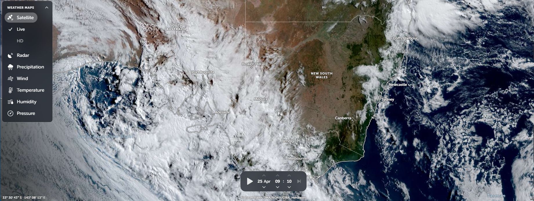
Attached is the satellite picture of southeast Australia (Feature image) taken at 9.10 am Friday morning showing the cloud mass and weather system now tracking east (Zoom Earth NASA Friday 25 April 2025) associated with the incoming weather system.