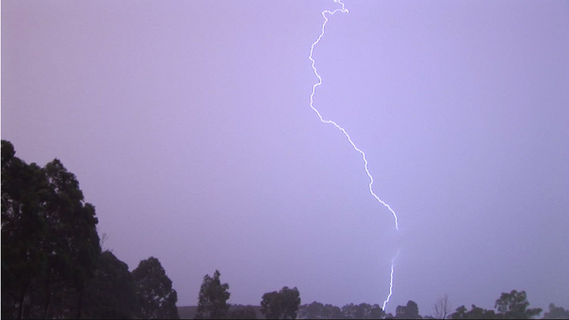
A prolonged thunderstorm outbreak between Friday November 8 and Sunday November 17 2024 has just concluded across much of eastern Australia. While there are exceptions, many regions have seen multiple days of thunderstorms occurring with some individual events being newsworthy items.
In particular, the most prolific thunderstorm activity has occurred across northeast New South Wales and Southeast Queensland where there have been multiple storm events spanning several days.
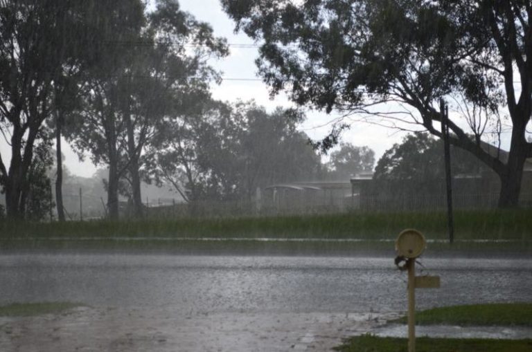
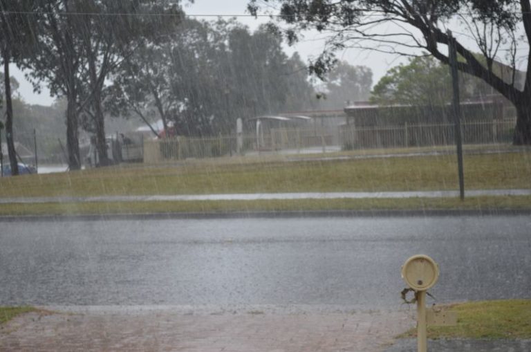
A majority of the regions have had at least one thunderstorm event during the period. However, it is noted that the Western Sydney region has missed the recent events and other than constant cloud cover lasting several days and occasional drizzle, no significant weather event has occurred within this region.
This is an incredible comparison to what has occurred elsewhere.
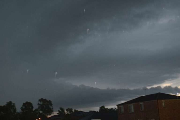
However, within the Sydney basin, a late evening thunderstorm did pass over southeastern parts of the city close to the coast. I did not see any lightning from this probably due to being too far inland and the storm being hidden by low cloud.
Rainfall accumulations across affected regions have exceeded 200 mm from some of the storm events including:
- 203 mm at Upper Springbrook Alert (Queensland).
- 209 mm at Aldavilla (Macleay River) – Just to the west of Kempsey (Mid north coast New South Wales).
- 210 mm at Seven Mile Alert to the southwest of Brisbane (Queensland).
- 221.4 mm at Coolangatta (Queensland).
There are numerous locations across northeast New South Wales and southeast Queensland where the weekly cumulative rainfall totals range from 100 mm to 199 mm across affected regions.


Some of the more significant events during the period include but not limited to:
- A peak wind gust of 146 km/h from a thunderstorm at Julia Creek Airport on Monday afternoon just before 4 pm. The thunderstorm caused damage to buildings throughout town.
- A wind gust of 154 km/h from a thunderstorm at 5.30 pm occurred at Woomera (South Australia).
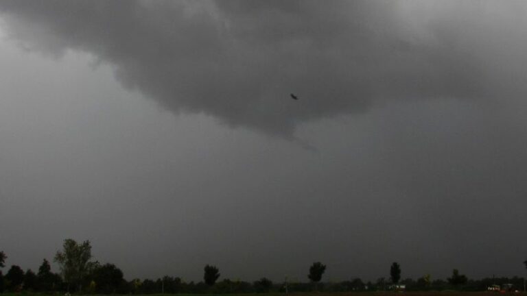
Damaging thunderstorms and hailstorms have been a feature with numerous reports of large hail events occurring.
Another event developed across Victoria and Southern New South Wales during Sunday which tracked towards Canberra late in the day. At the time of writing, there have been no significant events other than a fast moving rain band with some general non severe thunderstorm activity following this across the inland regions of New South Wales.
I have attached to the post:
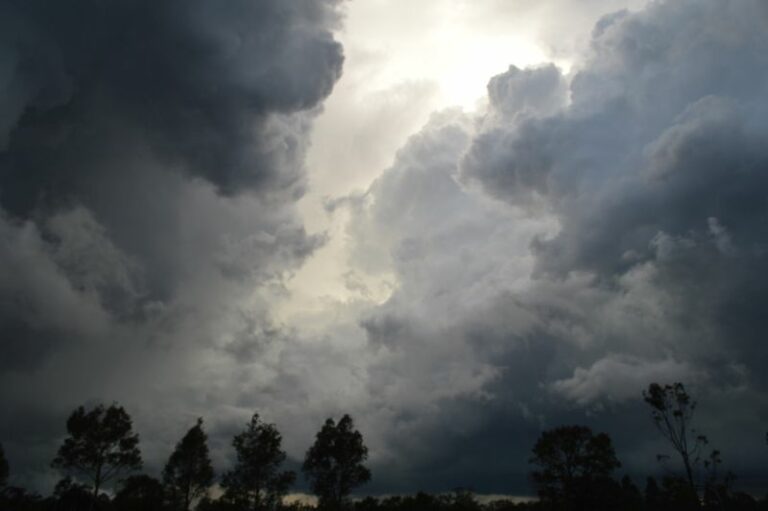
- A photo of a lightning strike taken in March 2015 over northwest Sydney (Feature image).
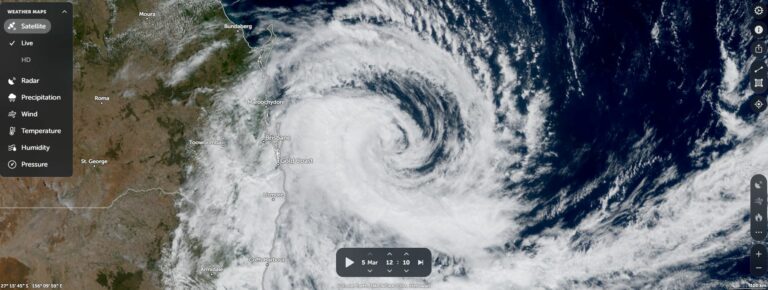
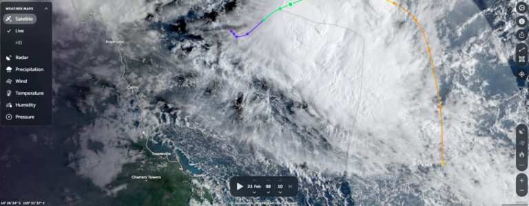
- Zoom Earth (NASA) November 14 2024 of southeast Queensland showing developing thunderstorm activity across the region.
- Rainfall accumulations for southeast Queensland and northeast New South Wales for the week ending Saturday 16 November 2024.