
As anticipated, Tropical Cyclone Nathan was named after its formation off the Queensland Cape York region and Tropical Cyclone Nathan is threatening Vanuatu as a Category 4 system. This tropical cyclone system is particularly large and obviously intense.
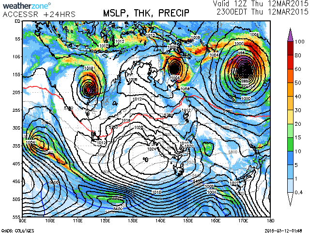
Another tropical cyclone, Tropical Cyclone Olwyn is situated off northwestern Australia. The reason for this fairly active period is being blamed on a very active MJO (Madden-Julian Oscillation) that could last for the next 2 weeks.
The Bureau of Meteorology has MJO monitoring.
Please find attached a satellite picture of Tropical Cyclone Nathan as at 11/3/2015.
A feature of this storm late Wednesday is the lack of eyewall and eye. Certainly cumulonimbus cloud tops are evident when zoomed into the storm system. This is rather different to the recent tropical cyclone that struck the Queensland Coast.
Looking at weather data from this storm, it is identified that wind speeds have not been excessive to date.
As at 12/3/2015, the strongest wind gusts have been recorded at an isolated weather station called Bougainville Reef (Station Number 200840). Strongest wind gusts reached 100 km/h at 9.51 pm, 9.52 pm and at 10 pm on 11/3/2015.
Cape Flattery weather station has been receiving peak wind gusts to 87 km/h at 11 pm 11/3/2015.
A weather station at Cooktown recorded 121.6 mm of rain to 9 am 12/3/2015 and another 111 mm of rain to 3.30 pm 12/3/2015.
Please find attached a satellite photo of the tropical cyclone off the Western Australia coast.
Unlike the Queensland storm which still does not have a defined eye, the storm off the Western Australia coast has a clear eye.
A weather station on Barrow Island located some 60 km east of the eye wall is recording peak wind gusts to 115 km/h (Up until 4 pm 12/3/15, a peak wind gust of 115 km/h is observed).
The same weather station has been recording peak wind gusts from 100 km/h since 2 pm with gusts ranging from 109 to 115 km/h.
The same station recorded 40.4 mm of rain to 9 am 12/3/2015 and another 59.4 mm to 4.30 pm.
As at 8.31 pm eastern Australia time, this is the closest weather station to the eye wall.
I attach an update photo of the Queensland storm to show the differences between the two storm systems.
A radar image of the storm. At the time taken, it is still well off the coast but north of Exmouth and Onslow. The image barely captures the whole eye wall region.
Tropical Cyclone Nathan has produced the following rainfall within the Cairns to Cooktown regions to 9 am 13/3/2015:-
1- South of Cairns
50 to 99 mm common with isolated falls of 100 mm including 136 mm at Topaz Alert being the highest total.
2 – City of Cairns and regions to the north
Bairds TM – 247 mm (Highest total).
Saddle Mountain Alert – 184 mm.
Daintree Village – 163 mm.
China Camp – 161 mm.
Myola Alert – 154 mm.
Port Douglass – 127 mm.
3 – Cooktown region
Flaggy – 292 mm.
Battle Camp TM – 183 mm.
Some major storm and heavy rain activity also impacted Weipa from this system:-
Weipa – 245 mm.
Scherger RAAF – 184 mm.
It appears forecasters are expecting this system to move offshore and intensify as it moves away.
Tropical Cyclone Olwyn
This tropical cyclone has passed over or close enough to a number of weather stations to provide an accurate account as to what is occurring as shown.
Barrow Island – Station Number ID005094:
Recorded a maximum wind gust of 124 km/h from the north east at 5 pm 12/3/2015.
There were peak wind gusts of exceeding 100 km/h from 2 pm to 6.30 pm generally from the ENE to NNE direction. The storm passed to the west of this station.
Some 101 mm of rain was recorded on the island to 9 am 13/3/2015.
The lowest pressure recorded was 994.4 hectopascals between 4 pm and 4.30 pm where the eye made the closest approach.
Onslow Airport – Station Number 005017:
Recorded a maximum wind gust of 119 km/h at 9.30 pm from the NE.
There were peak wind gusts of 100 km/h or more from 6.44 pm to 12.30 am but peak gusts waxed and waned during this period from 95 km/h to 119 km/h.
The lowest pressure recorded was 997.1 hectopascals at 6.30 pm.
Learmonth – Station Number ID005007:
The storm has given the town a glancing blow and it is clear the eye has passed very close but to the west of town.
The weather station has recorded peak wind gusts of 180 km/h during a period from 2.19 am to 2.32 am. For 13 minutes peak wind gusts of 180 km/h were recorded.
A wind gust of 180 km/h was also recorded at 1.30 am.
Average winds of 135 km/h with gusts of 172 km/h were recorded at 1.56 am.
These are the highest wind gusts that I can find from a weather station.
The lowest air pressure recorded was 969.3 hectopascals at 2.11 am coinciding with wind gusts of 169 km/h.
The eye has passed just to the west of this station. Wind direction at 12.51 am was from the east. At 2.50 am, winds had swung 90 degrees from the north.
Carnarvon Airport – Station Number ID006011
This is an important station as the storm has tracked south along the western Australia coast and has reached this station.
Peak wind gusts of 146 km/h has been recorded at 1.27 pm and again at 1.30 pm being the highest readings to 2.30 pm.
Winds here have tended from the south east to north east and hence the core is to the west.
At 12.59 pm, an average wind speed of 113 km/h is recorded with a peak gust of 141 km/h observed.
The station has recorded 60.4 mm of rain to 1.30 pm.
There are fewer weather stations in this region and hence rainfall figures are more sparse. Known rainfall amounts are:-
Learmonth – 142 mm.
Thevenard Island – 144 mm.
The latest satellite picture shows the storm but the eye appears to have filled in.
Tropical Cyclone Olwyn has now broken apart and weakened.
A weather station at Shark Bay (Near Denham) – Shark Bay Airport has captured readings as the west flank of the eye wall passed over. This station recorded peak wind gusts of 109 km/h at 5.14 pm and again at 5.26 pm from the south east.
At 6.21 pm, the west side of the eye wall has passed over and peak wind gusts dropping to just 26 km/h from the south.
Air pressure readings are:-
5.58 pm – 976.4 hectopascals (Lowest recording).
6 pm 976.5 hectopascals.
6.21 pm 976.6 hectopascals.
By 7.27 pm, peak wind gusts return to 102 km/h from the south west before easing.
There is a notable cessation of rainfall of 125.8 mm at this time. Further rain commences at 7.30 pm but it is only light and not significant.
This shows a storm weakening as it travels south. The storm has now become a rain depression as at 7.30 am eastern Australia time over the western parts of Western Australia with some rainfall affecting Perth. Overnight its life as a tropical cyclone ended.