
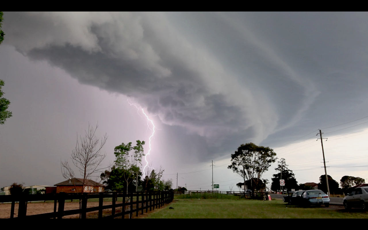
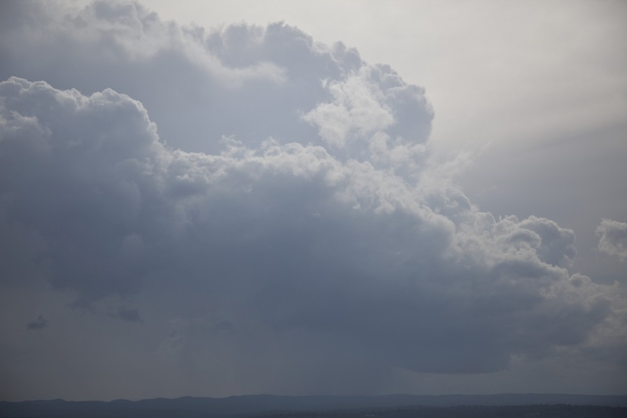
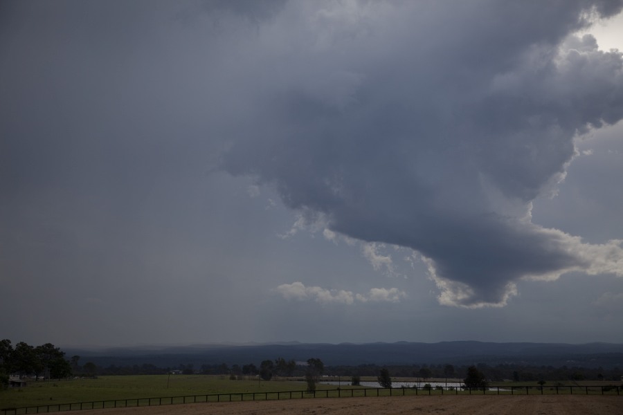
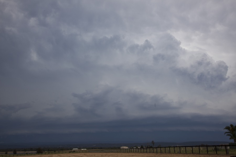
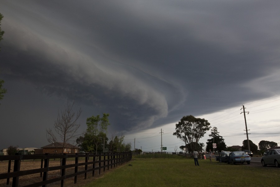
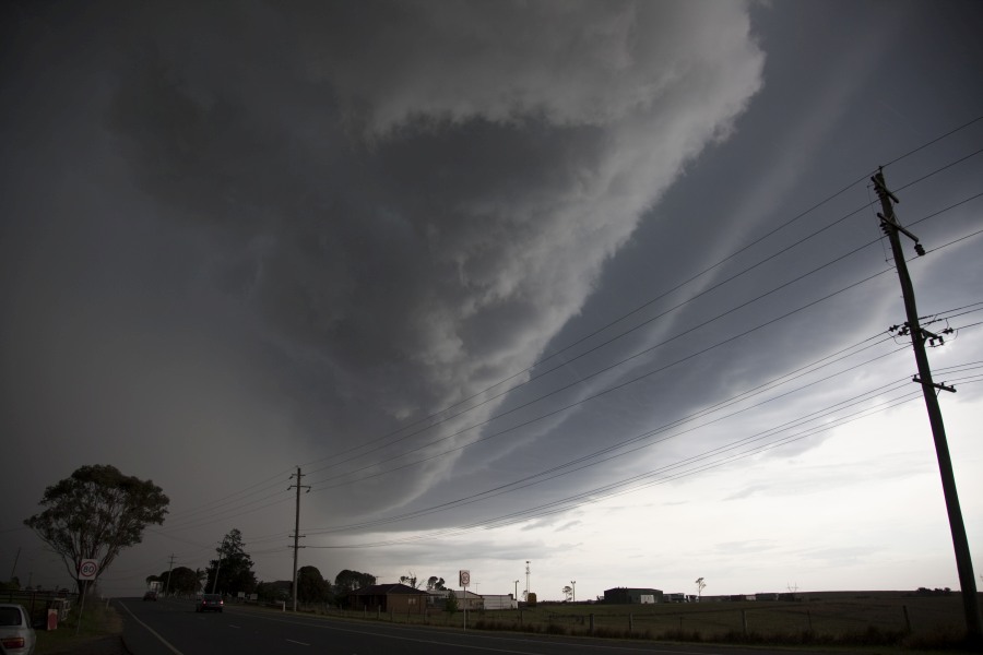
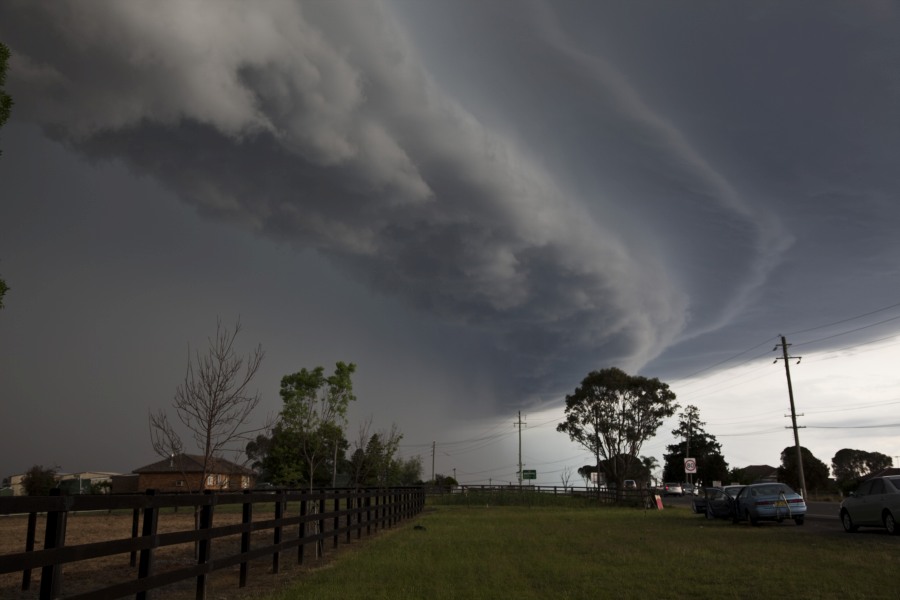
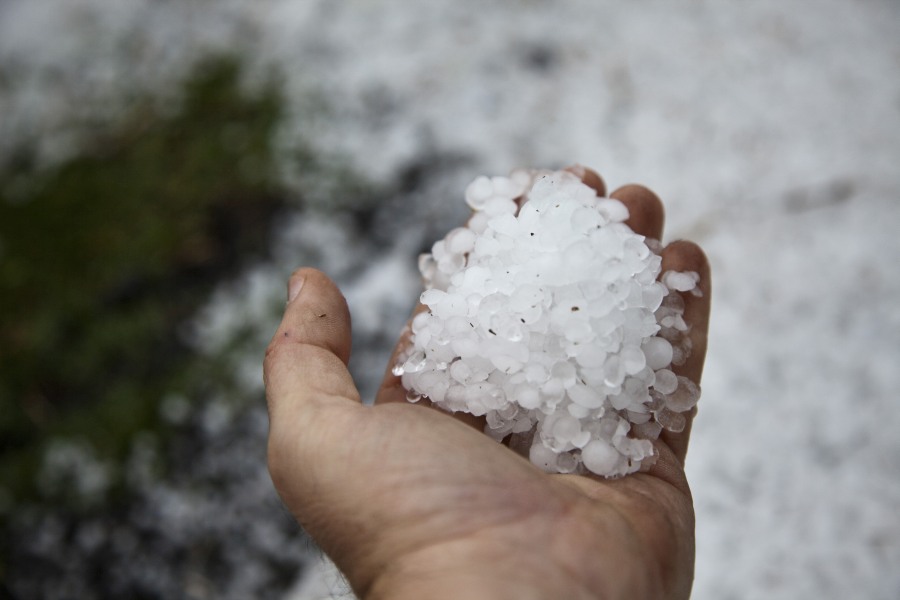
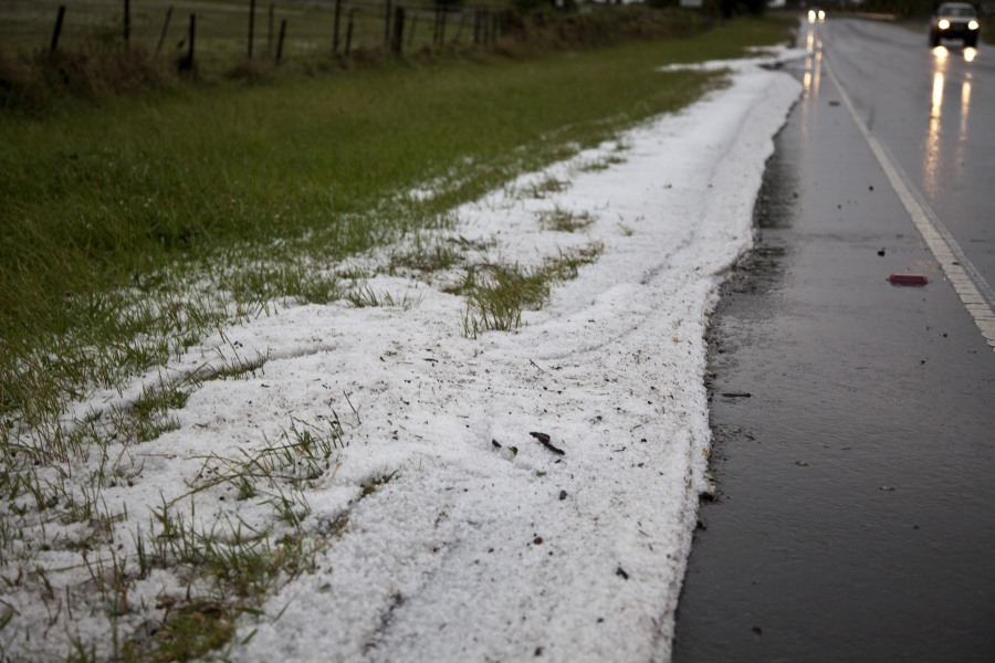
After a day of cloud and intermittent rain, the clouds clear to a warm afternoon. On the horizon was a fairly extensive storm system that was approaching from the west. Warnings were issued for hail and wind as the storms intensified on approach to the Central Tablelands. A small storm developed ahead of this line though was not able to sustain and explode to incredible heights as well as tap into the moist surface infeed. The squall line rapidly approached and dominated the local environment. A spectacular shelf cloud accompanying this line passed through Sydney suburbs. Some cores contained hailstones with hail size to about 1 to 1.5cm but mostly pea sized. The storms also produced hail swathe 1km wide although hail size was limited to about 1 to 1.5cm in diameter. 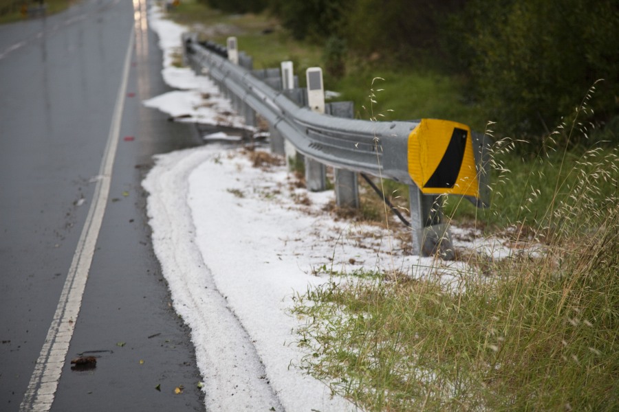
One of the highlights of the chase came towards the end as I headed back from the drive near Rose Hill and back towards Old Windsor Road. there were a few very close lightning bolts! One in particular hit behind trees perhaps within a few hundred metres away! It caused a massive spark and beaded out! this was followed immediately by crackling thunder!
Added the video from this event http://youtu.be/W1eHYPURjw8?list=UUJVRjeDn3HXane-IZ1Havyw.
Please find attached the Sydney radar image of the storm.
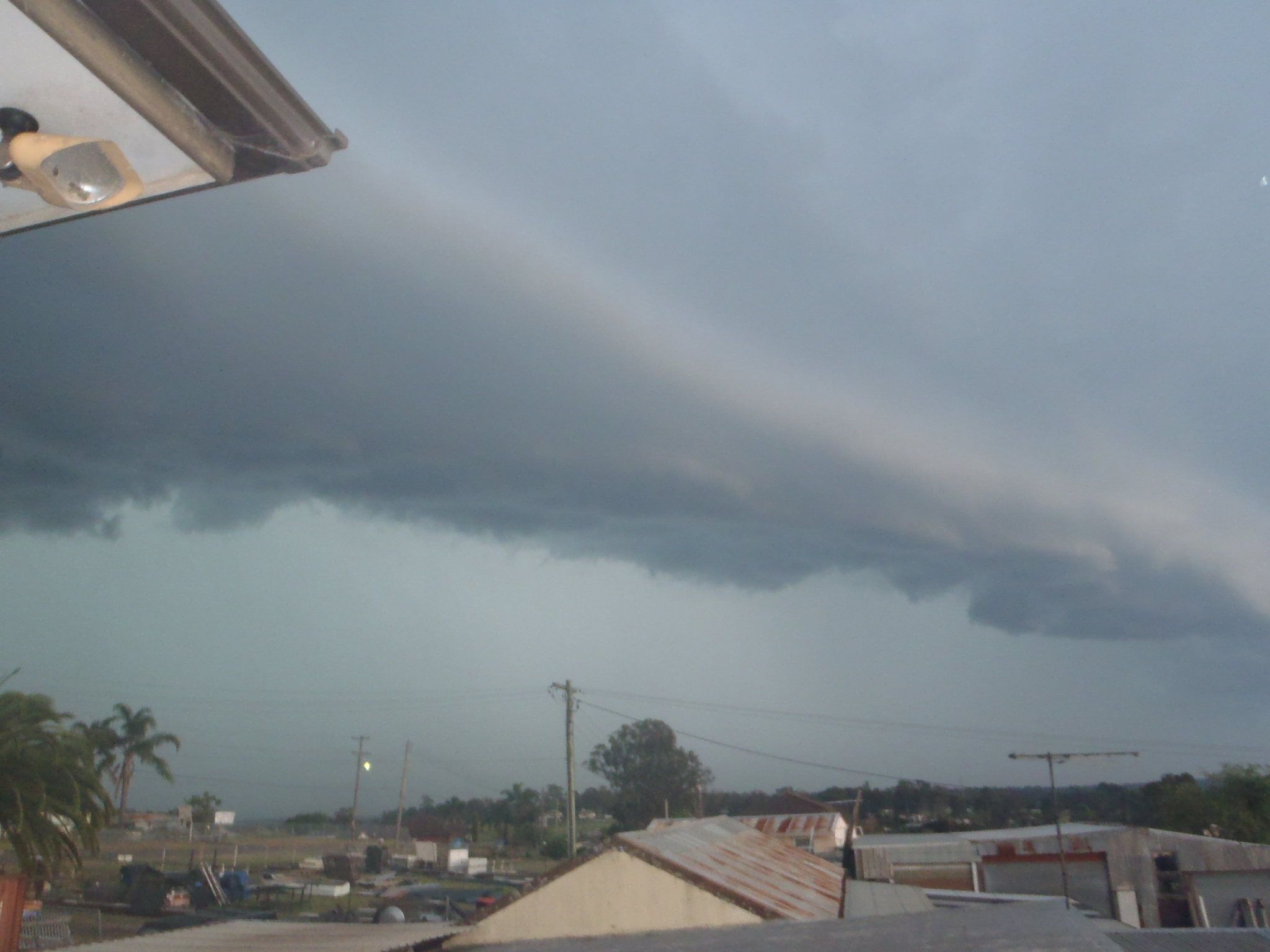
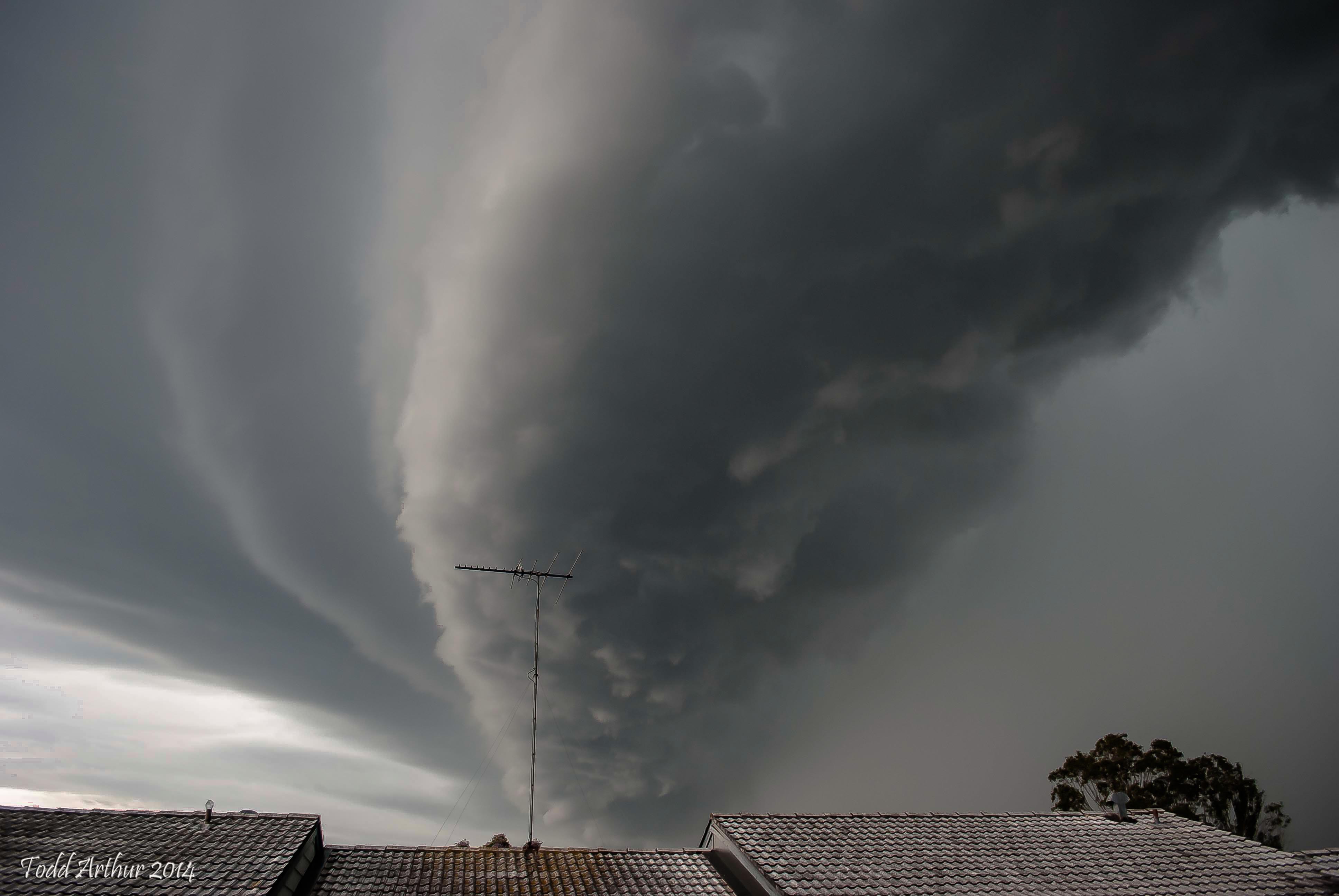
I found the cloud structure impressive and quite spectacular. I went to take photos of the storm only to realize that I have used all my SD cards. I have just two photos of the event to work with. I have not yet finished dealing with my photos from my holiday in Indonesia. I was disappointed to discover this when I needed to take photos of the storm.
Of interest, rainfall was heavy but not excessive for the city and there are no excessive totals. The heaviest fall includes 26 mm at Castle Hill with the next best fall being 20 mm around Baulkham Hills, 19 mm at Blacktown / Seven Hills and parts of Campbelltown. Generally falls ranged from 7 mm to 15 mm with a few exceptions.
There was no hail where I was at Blacktown but much wind and cloud to ground lightning strikes observed.
Finally, I expect to have cleaned up by SD cards for the next storm.
I also attach the Weatherzone radar of the storm as it encroached onto Western Sydney to show the image and to show what it looked like.
The radar shows the leading edge of the storm containing some heavy rainfall.
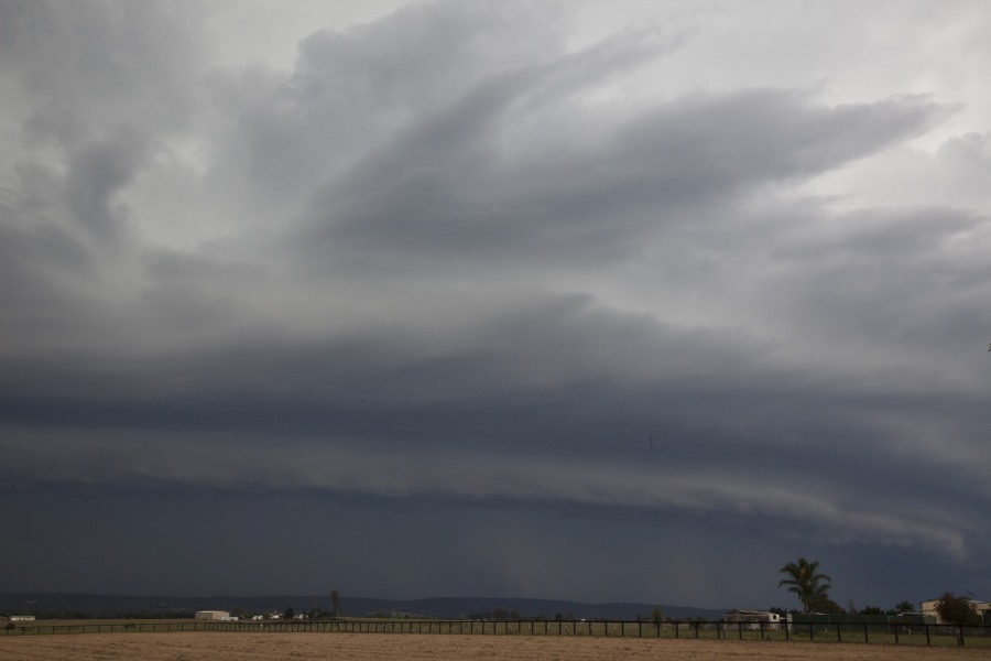
Finally, I attach the only photo I have of the storm due to myself running out of SD cards in my camera. I am facing south east and the leading edge has passed over me. I managed to take this just before heavy rain swept over me.