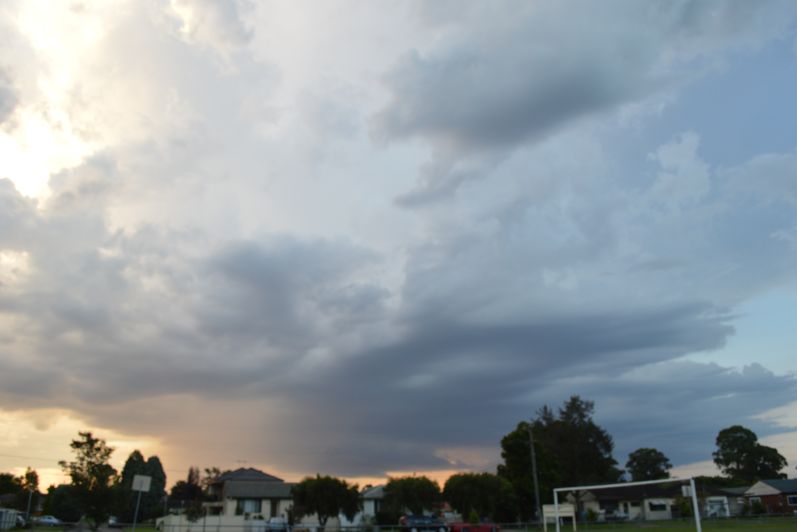
Late afternoon / early evening no less than 3 thunderstorm cells encroached or developed within the Sydney region. There was one large cell to the south situated around the Mittagong / Bowral (Southern Tablelands) area and two cells across Western Sydney but situated west of Marsden Park but east of Penrith.
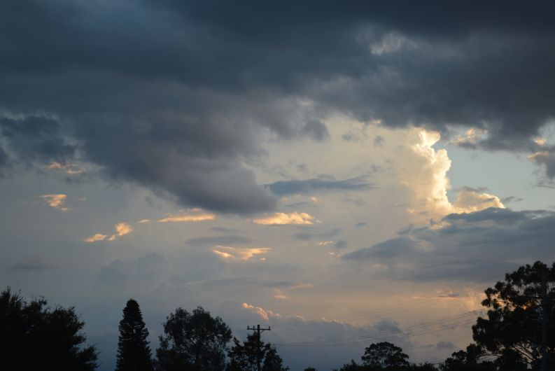
After taking photos of the cells, my wife and I commenced a local storm chase towards the storm cells to the west / north west. Interestingly, this cell was within the same location as the cell that impacted the western areas of Marsden Park the previous Saturday afternoon. Initially, this cell developed an interesting rain free base and colourations due to the sunset. We were able to pass underneath the base and through the most intense part of its rain core as we traversed an east to west cross section through the thunderstorm. We emerged on its western side just to the east of Richmond / Windsor.

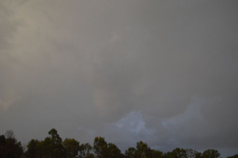
While rainfall was heavy in parts, there was no hail encountered and unlike the storm of the previous Saturday, there were no gale force winds encountered. By this stage, it was too dark to continue taking photos and it appeared that the storm was now going into slow decline. While some lightning was observed, it became more and more sporadic. Eventually, it became too dark to see any further cloud structure and the storm appeared to be weakening.
Additional lightning was observed from a separate storm further to the north west but it was sporadic and became less frequent as evening progressed.
Maximum rainfall for the 24 hours to 9 am 31/1/2021 (For Western Sydney) was 11 mm at Shanes Park and 10 mm at Penrith which suggests that this storm cell while developing an interesting base did not produce significant or very intense rainfall and rainfall totals were lighter further north.
The cell to the south over the Southern Tablelands appeared stronger and rainfall was heavier including 73 mm at Mittagong, 53 mm at Avon Fire Tower and 52 mm at East Kangaloon (Rainfall for the 24 hours to 9 am 31/1/2021). It appears that this cell also went into decline after dark. While lightning was observed in the distance on our drive home towards the east, it became more sporadic as evening progressed.
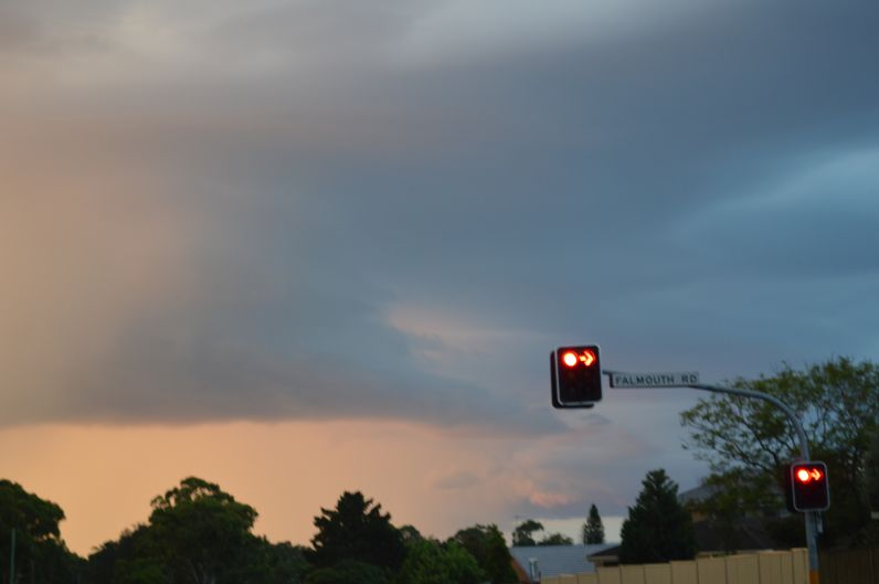
The images attached to this post were taken Saturday evening 30/1/2021 showing the western cell, one showing the southern cell and one taken at Windsor of cloud structure but light levels were not good.