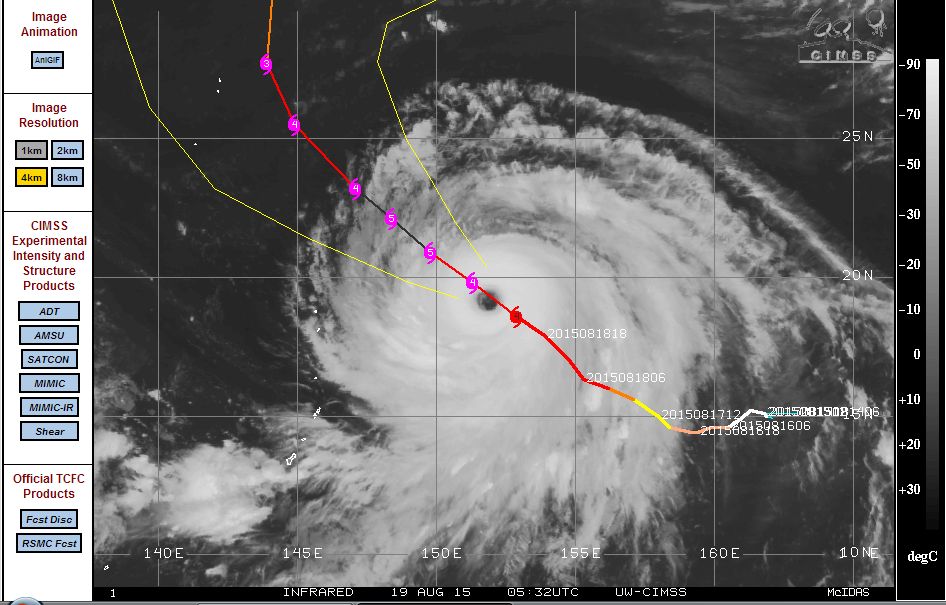
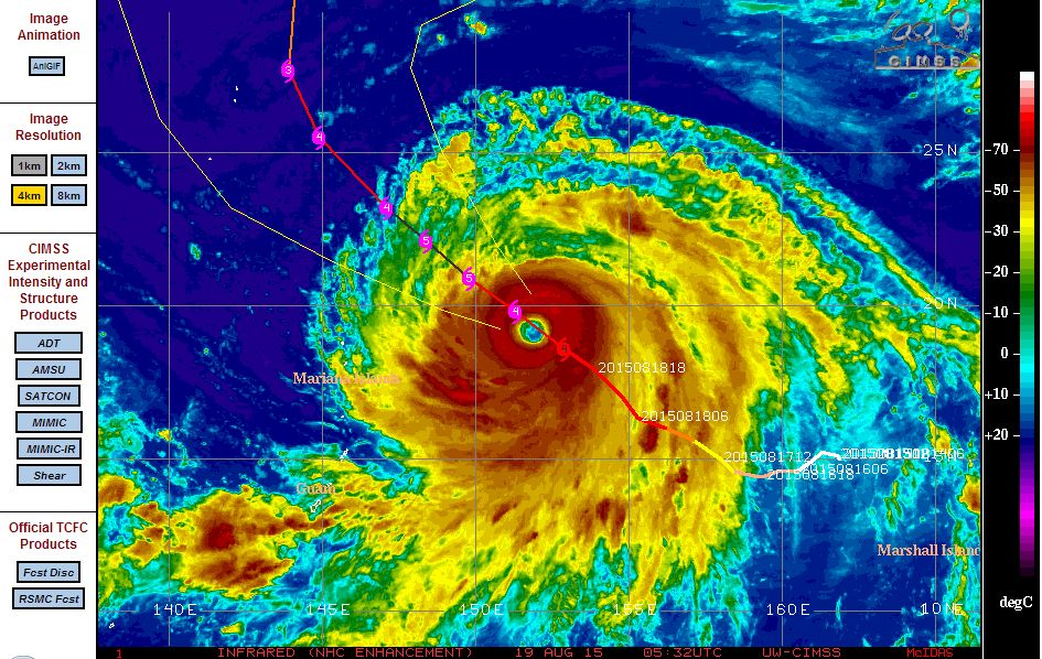
Typhoon Atsani has continued to intensify and according to CIMSS, the storm has now reached "Super typhoon status” sustaining powerful winds of 140 knots (Approximately 259 km/h) with peak wind gusts to 160 knots or approximately 296 km/h.
According to the Central Weather Bureau of Taiwan, it is calculated that peak winds reach 63 metres per second at the core.
It appears the storm is now reaching its maximum strength as a high end Category 4 storm and based on the model attached from CIMSS (Acquired 19 August 2015), the storm may even reach Category 5 status over coming hours.
The storm is now located at 18.6 degrees north and 152.9 degrees east and tracking over waters of 30C towards the north west and approaching Japan from the south. However, assuming the latest model from the Central Weather Bureau of Taiwan is accurate, the storm should change course south of Japan, weaken and never make landfall.
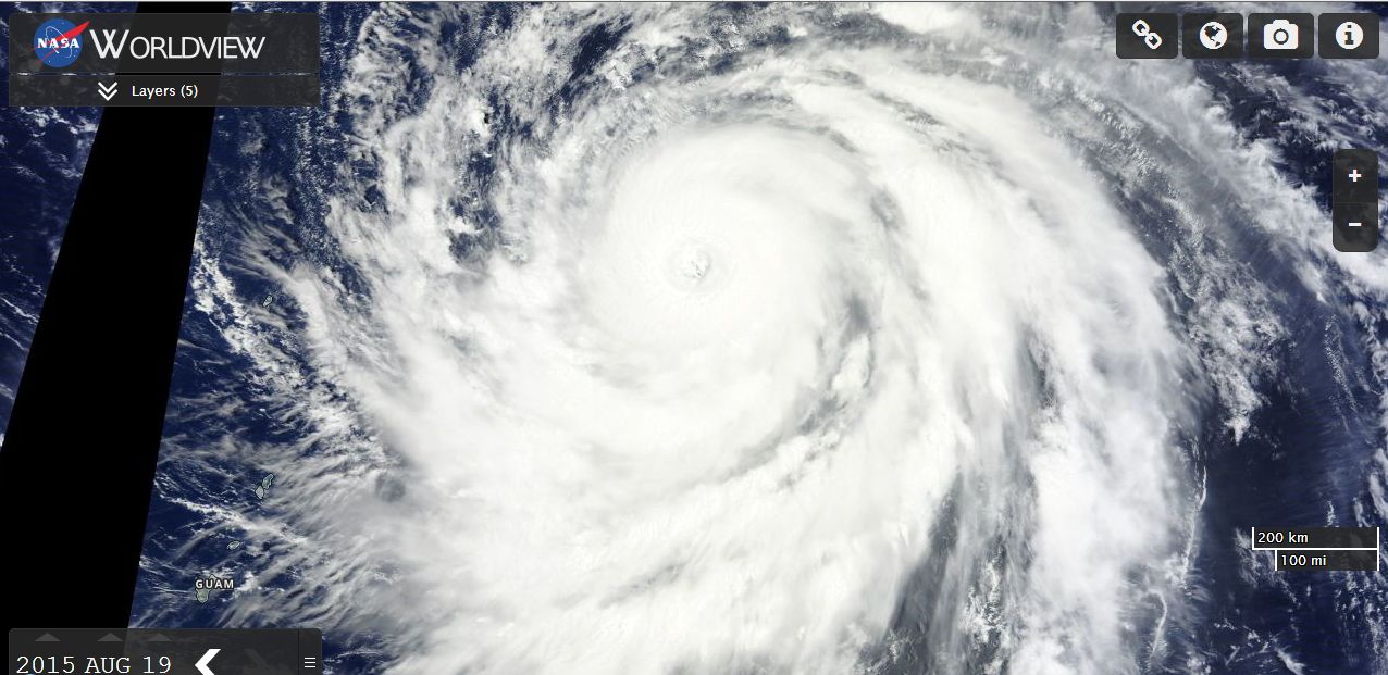
The satellite photo of the storm from MODIS Worldview (Acquired from NASA 19 August 2015) with overlays is showing the storm as a spiral shape with dense thunderstorm bands. The eye is visible especially in the infra red view and dense cumulonimbus clouds surround the eye of the typhoon.
Assuming the storm remains out to sea during its entire life span, it would only present a threat to shipping and aircraft in that part of the world.