 This storm developed south of Appin before the storm developed near Blacktown. Finding a position was near impossible and some of the features I missed including inflow bands and the base is a pity. Nevertheless, the storm intensified and eventually put out a few bolts.
You can see in the second image that the base was rather interesting and seemed to be on a triple point. The base was lower than the typical bases surrounding the storm. Once the storm collapsed after probably an hour, I aimed for the storms now back-building to just north of Camden. I decided against this and chased the other boundaries and associated storms back-building south of Picton. It was not long that all storms collapsed and I called it a day.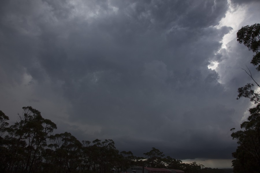
Hi everyone here’s a pic of the same storm that jimmy mentioned ,this is a shot of the one coming from blactown towards Cambridge park,saw heaps of cg bolts as I stayed in front of it as it came to Penrith regatta,Corey saw some of his first close up bolts ,lol
Hi Colin Bryant, that was a nice storm.
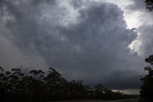
This was not so much of a storm chase but lucky to be in the right place at the right time. Monday afternoon, I drove back from Albury / Wodonga on the NSW / Victoria state border and intercepted one of these storms at Mittagong on the Southern Highlands. Initially I saw a storm cell to the east of Marulan but unfortunately, I could not photograph it as there were too many cloud layers hiding the actual cumulonimbus cloud tower.
A second cell developed over Mittagong and I managed to drive underneath it to experience a very heavy downpour but no hail. This was an amazing contrast considering the dry weather I was experiencing in southern New South Wales.
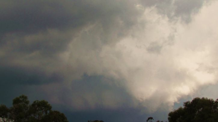
The storm cells shown in the two photos below are taken at Pheasants Nest Monday afternoon looking east. This was the third cell I saw that afternoon.
Earlier that afternoon, I saw weak cells struggling to form over the Snowy Mountains as I was driving between Gundagai and Yass but I could tell there was a lack of moisture and these did not do much.
It was only when I approached Marulan then Mittagong did I see more robust cloud towers and stronger thunderstorm cells such as the ones shown in my photos.
The second photo. I did not have allot of opportunities to photograph these. This storm produced a small number of cloud to ground lightning strikes. I did notice that they were dropping heavy concentrated rain over small areas. I do not know if there was any hail in these.
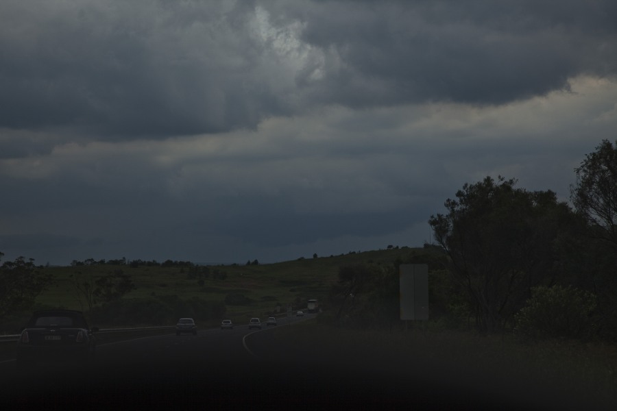
Unrelated to this storm event, I did pass a number of small and medium sized trees that had been knocked down on the side of the Hume Freeway in this area which may have been from the rain and wind event of the previous Saturday.