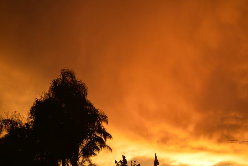
The attached images taken at sunrise and again late afternoon Monday shows two different thunderstorms affecting Western Sydney at opposite ends of the day.

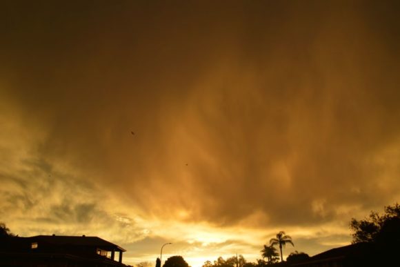
During the early morning, a weakening thunderstorm cell crossed into the Sydney Basin and decayed. However, while it was a relatively minor event with one or two rumbles of thunder being heard, at sunrise, an incredible display of colour was observed. The rising sun illuminated the cloud base a deep orange as shown. Further after sunrise, a sustained rainbow of at least 20 minutes was observed to the west. A double rainbow was also briefly observed prior to the sun being obscured by cloud.


The storm had more impact around Bathurst and Orange on the Central Tablelands where rainfall reached as high as 35.4 mm at Orange and 26 mm at Bathurst Airport. However, as it crossed over into the Sydney basin, it rapidly decayed. During its decay, the cell did produce a period of moderate to strong north west winds with peak wind gusts reaching to 65 km/h at Penrith Weather Station. After sunrise the winds eased.
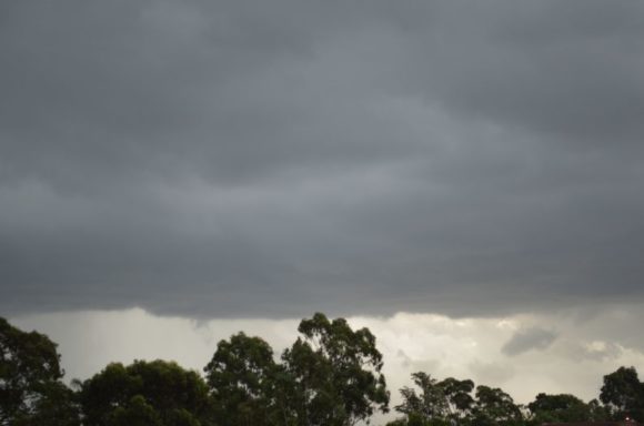
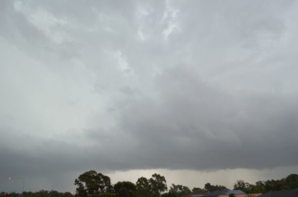
Following the passage of a south east change and a day where temperatures reached at least 30C to 32C across much of Sydney, a much stronger thunderstorm cell passed over large areas of Western Sydney late in the day.
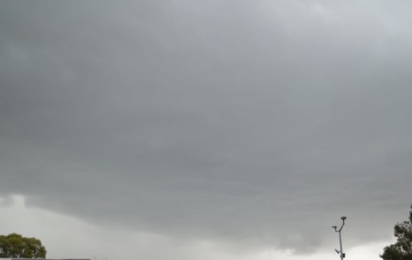
As shown in the attached photos, this storm did produce a significant base. The storm had its greatest impact at Penrith where the weather station recorded two peak wind gusts to 91 km/h at 5.17 pm and again at 5.21 pm.
Localised flash flooding, heavy rain and hail was also observed from the storm. The highest rainfall was 32 mm at Box Hill and 19.6 mm at Penrith (Only for the duration of this event). This included 11 mm falling in 14 minutes at peak intensity at Penrith.
While the storm reached Blacktown, the storm went into substantial decay further east with very little rainfall occurring east of Parramatta.
My photos show the base of the storm as it made its approach from the south west. It sustained a solid base and some cloud to ground lightning was observed. As it passed overheard, one very close lightning strike occurred to either a tree or power line as the lightning strike and noise was instantaneous.
At times, low cloud obscured much of the lightning but it was lightning active as it approached from the west.
This event is now the start of a sustained wet period for much of Eastern New South Wales over coming days.