 Apart from the tornado today, there were supercells including the ones in Sydney that developed during the mid to late afternoon period. At least one of these was an LP to classic supercell with two other smaller but still well structured storms.
I was not able to make it in position for the best photography before this storm died. And then after a break at MacDonalds, Jeff and I parted only to find another cell near Richmond. This produced a very pronounced mid-level funnel that Jeff suggested latest about 5 minutes!
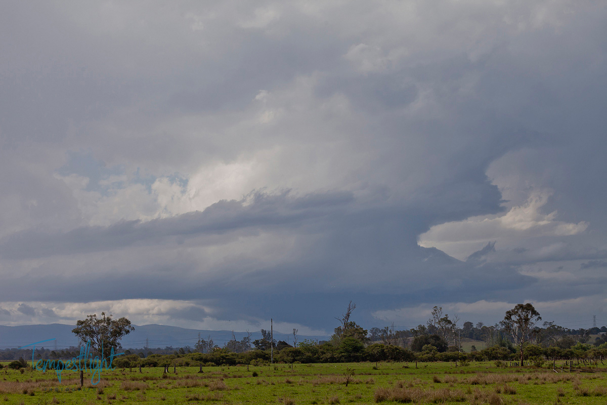
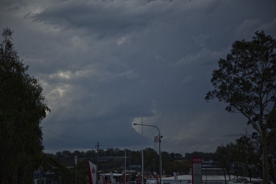
This is what the First LP Supercell looked like yesterday as I drove towards Windsor from Penrith.
This is the view on George St, South Windsor and then when I stopped near the level crossing.
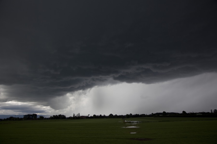
The Cell occluded though and cut off it’s inflow which resulted in rapid collapse over the next 30 minutes. But it was very intense at this stage reaching a crescendo with lots of powerful cloud to ground bolts and large hail.
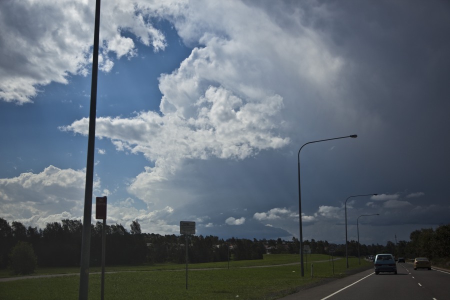
More nice structure
Just Before I headed east in a vain attempt to keep up with it
The next two photos show the cell going through a hail core dump and rapidly heading east. Nice thick anvil though!
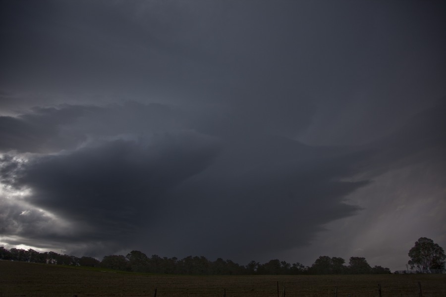
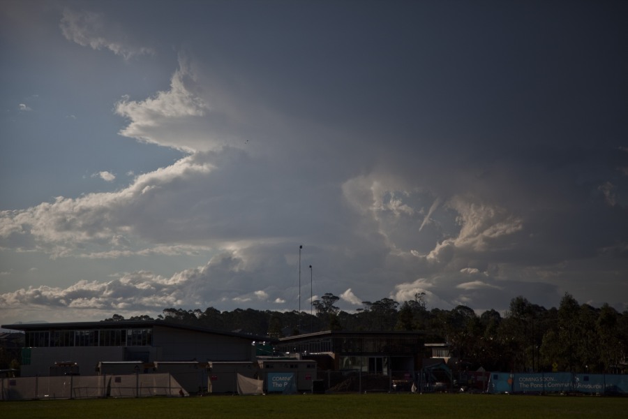
The next LP cell formed straight behind the first and when it collapsed a third and final cell developed which produced an amazing mid-level funnel. The biggest i”ve ever seen!
These are great photos. However, I was unable to catch these as I was chasing storms in the Hunter Valley. Following the storms I had at Cessnock and later on Singleton, I met up with Colin and we were watching these on radar. Impossible to chase them as we were too far away. We watched them disappear quite fast on radar.
I had a friend who advised me part of an earlier storm passed over Dural producing small but brief hail from a passing cell. At least I know what occurred as I was curious to find out.
Hi Harley, I can confirm the hail near Dural as pea sized as this was from an earlier storm. Quite an active storm and there was an inflow region showing on radar but otherwise not that impressive!
From a boring start to the day to an incredible afternoon – amazing what an outflow boundary can do!
Incidentally, the first classic/LP supercell produced hailstones from the anvil when I was out Rouse Hill.
Jeff, that was a nice shot of the second storm – I was back-tracking at the time to get a good position – taking shots on the way. When i got into position – base was eroded away!
Great shots jimmy and Jeff I’m glad we all got some action,