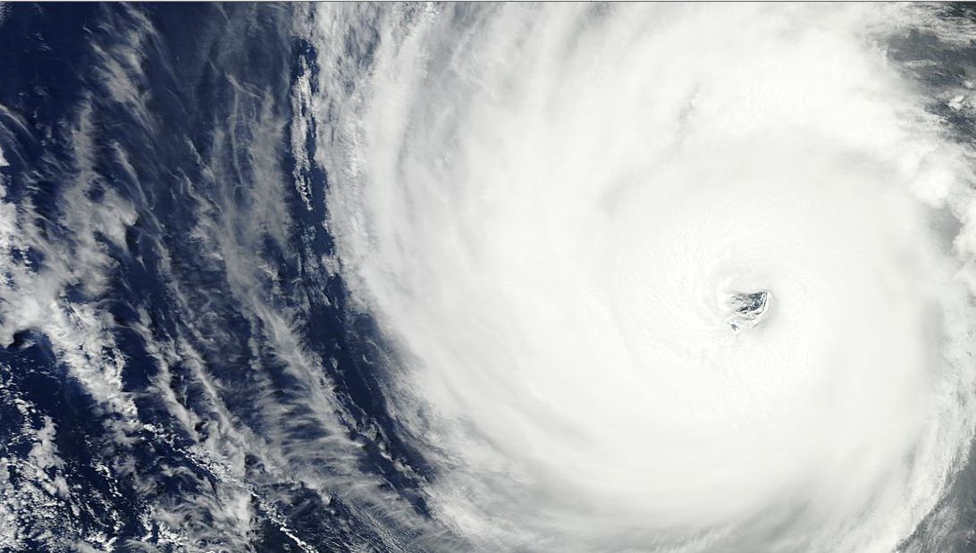
Hurricane Blanca has become what is known as the earliest second hurricane on record. Following its rapid intensification to a category 4 storm, it weakened back to a category 2 storm due to a number of factors including its passage over an area where colder water was upwelling.
This storm has now intensified again back to a category 3 storm although it will shortly weaken as it passes over cooler waters on its final approach to Baja California. Models indicate the storm weakening but unleashing rain over Baja California which is usually a dry region.
At the time of writing, winds close to the eye are estimated at 105 knots or 120 miles per hour (200 km/h). It is estimated that wind gusts may be peaking at 150 miles per hour (Approximately 240 km/h). It is moving north / north west at 16 km/h with a central pressure of 952 mb.
This is an intense storm that has resulted in the National Weather Service issuing storm warnings for the southern coastline of Baja California with forecast models taking it over the peninsular of Baja California (Mexico). This places towns and cities at risk of heavy rain including La Paz, Todos Santos, San Lucas, San Jose Del Cabo and Puerto Cortes, all situated towards the southern parts of the peninsular.
This storm and the previous one may be a precurser to a busy hurricane season for the Eastern Pacific with NOAA forecasting a 70% chance of an above average hurricane season possibly linked to the El Nino effect with a 70% probability of 15 to 22 named storms with 7 to 12 to become hurricanes and 5 to 8 major hurricanes (Source NOAA May 2015).
It is quite possible that the Pacific coast of Mexico could be hit by a number of hurricanes this season.
The satellite photo attached from MODIS (NASA - June 6 2015) shows a strong hurricane complete with an eye although such strength and stature is forecast to diminish shortly.

