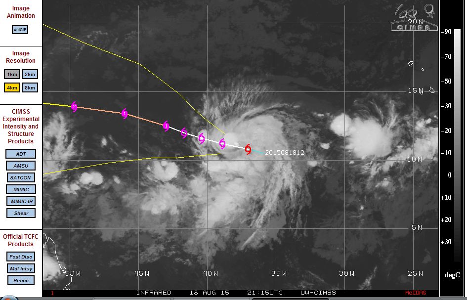
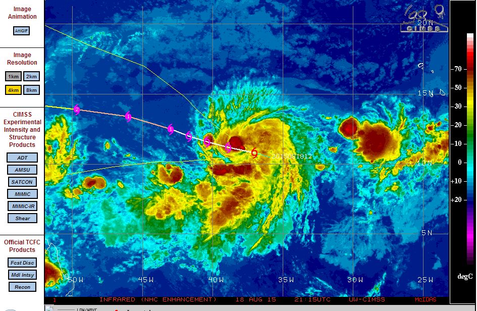
A cluster of thunderstorms moving very slowly westward across the Atlantic Ocean is beginning to take shape. The cluster of convective storms has slowly been organizing over the past two days around a well developed low pressure cell. Development has been very slow and it is identified that a break in the ridge of high pressure across the region has allowed the cluster to gain some strength.
Currently, the cluster is sustaining winds of 35 knots at the core (Approximately 65 km/h) and is passing over waters of 28 degrees which is warm enough to sustain a future hurricane.
The storm cluster will continue to move west north west from its current position of 10.8 degrees north and 37 degrees west although slowly. Assuming the storm complex sustains its current development, the CIMSS model (Acquired 19 August 2015 and attached) would place the storm at 13.9 degrees north and 44.7 degrees west within 4 days. The model would suggest the first hurricane of the season for summer as a Category 2 storm sustaining winds in excess of 85 knots (Approximately 157 km/h).
The storm currently does not threaten any population centre but its current track would take it close to the Lesser Antilles in coming days. It appears the storm will be named Danny once further development occurs.